
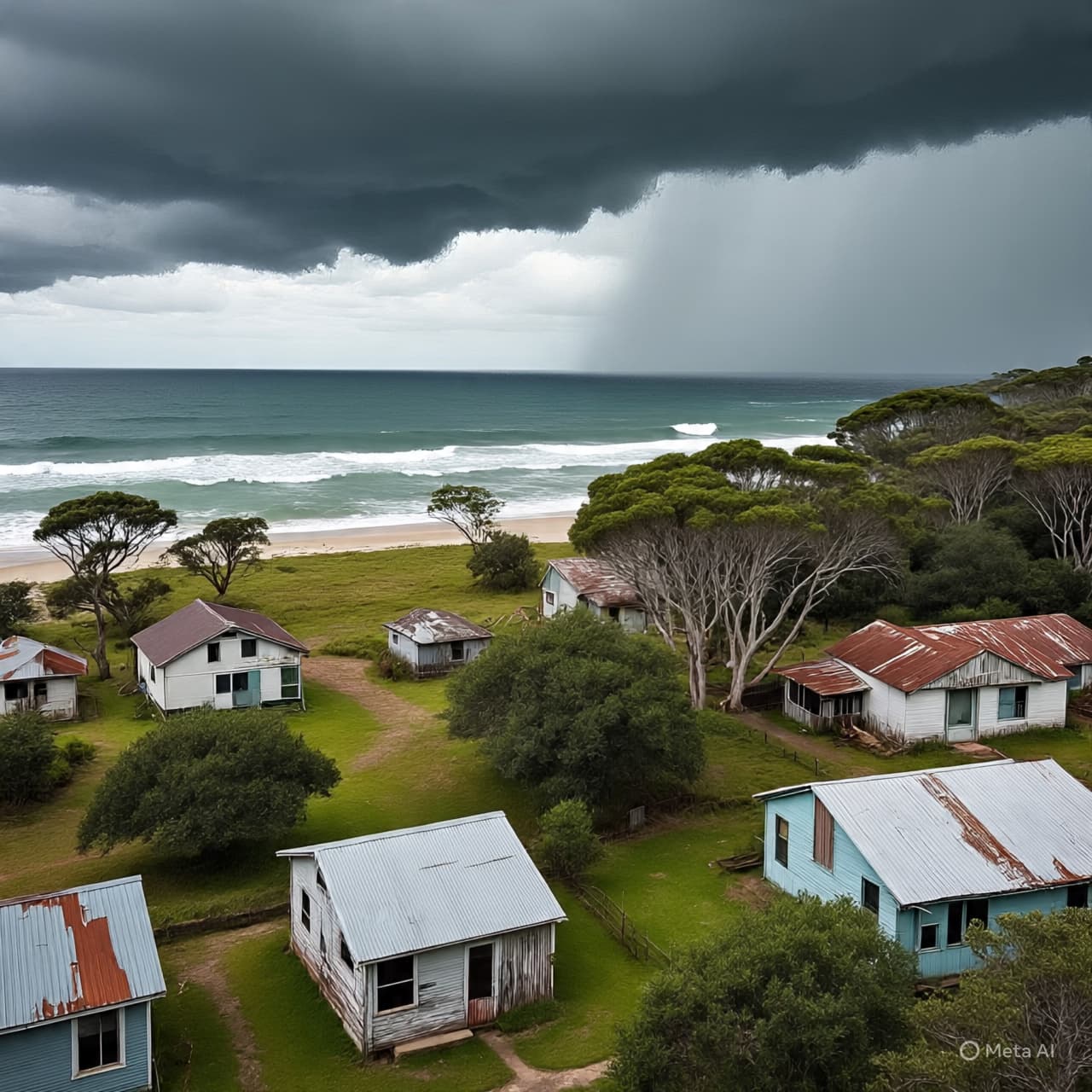
Along the northern edge of Queensland, the air has taken on a different weight. It presses low over rooftops and mangroves, over quiet streets where the usual rhythm has slowed into something more deliberate. Windows are secured. Boats are pulled further inland. Conversations drift between neighbors with a shared awareness that time, for now, is measured in hours rather than days.
Out in the Coral Sea, a system that began as a distant disturbance has gathered strength with a steady, unbroken resolve. Meteorologists have confirmed its escalation into a Category Five cyclone, the highest classification, defined not only by wind speed but by the scale of disruption it can carry ashore. The numbers—gusts exceeding 280 kilometers per hour, a core dense with rain and pressure—arrive with clinical clarity, yet they only hint at what such a system means when it meets land.
Communities across the far north have entered a state that feels both urgent and routine. In towns scattered along the coastline, evacuation routes are reviewed once more, shelters prepared, and emergency services positioned where they are most likely to be needed. The choreography is familiar in a region shaped by seasonal storms, but familiarity does not soften the edge of anticipation.
Officials have issued warnings across multiple districts, urging residents in low-lying areas to move early rather than wait. Flooding, storm surge, and prolonged power outages are all expected possibilities, their likelihood shaped by the storm’s eventual path—still shifting, still uncertain. In places where rivers already run close to their banks, even a slight change in direction could redraw the map of impact.
There is, in these hours, a quiet convergence of past and present. Many here remember earlier cyclones—names that linger in memory not as headlines, but as lived experience. The rebuilding that followed, the lessons absorbed, the small adjustments made to homes and habits over time. Each new storm arrives not in isolation, but as part of that ongoing conversation between land, water, and those who live between them.
Further inland, the mood changes subtly. Winds may weaken as they travel, but the rains often deepen, stretching the reach of the cyclone beyond the coastline. Farmers secure equipment and livestock, watching the sky with a patience shaped by seasons, yet aware that this system carries an intensity that does not always follow familiar patterns.
As the cyclone approaches, the focus narrows. Emergency authorities continue to update forecasts, emphasizing that even well-prepared communities can face sudden changes. The storm’s forward speed, its angle of approach, the timing of high tides—all remain variables that will determine how the event unfolds.
By the latest advisories, landfall is expected within the coming day, with the strongest impacts likely along Queensland’s northern coast. Residents have been advised to complete preparations immediately and to remain indoors once conditions begin to deteriorate. Transport disruptions, school closures, and widespread service interruptions are already being set in motion as part of precautionary measures.
For now, the coastline waits. The sea, restless but not yet at its height, moves in long, measured swells. Above it, clouds gather in layered bands, tightening slowly around a center that continues to turn. And in that turning, something larger than the moment takes shape—a reminder, as it has always been, of how quickly stillness can give way to motion, and how communities, once again, must meet it together.
Published by Banx Network. This article is part of the Banx decentralized media programme, powered by the BXE token on the XRP Ledger.
.jpg&w=3840&q=75 "Blake Lively Awarded $400,000 in Legal Fees After Justin Baldoni Lawsuit Dismissed")

