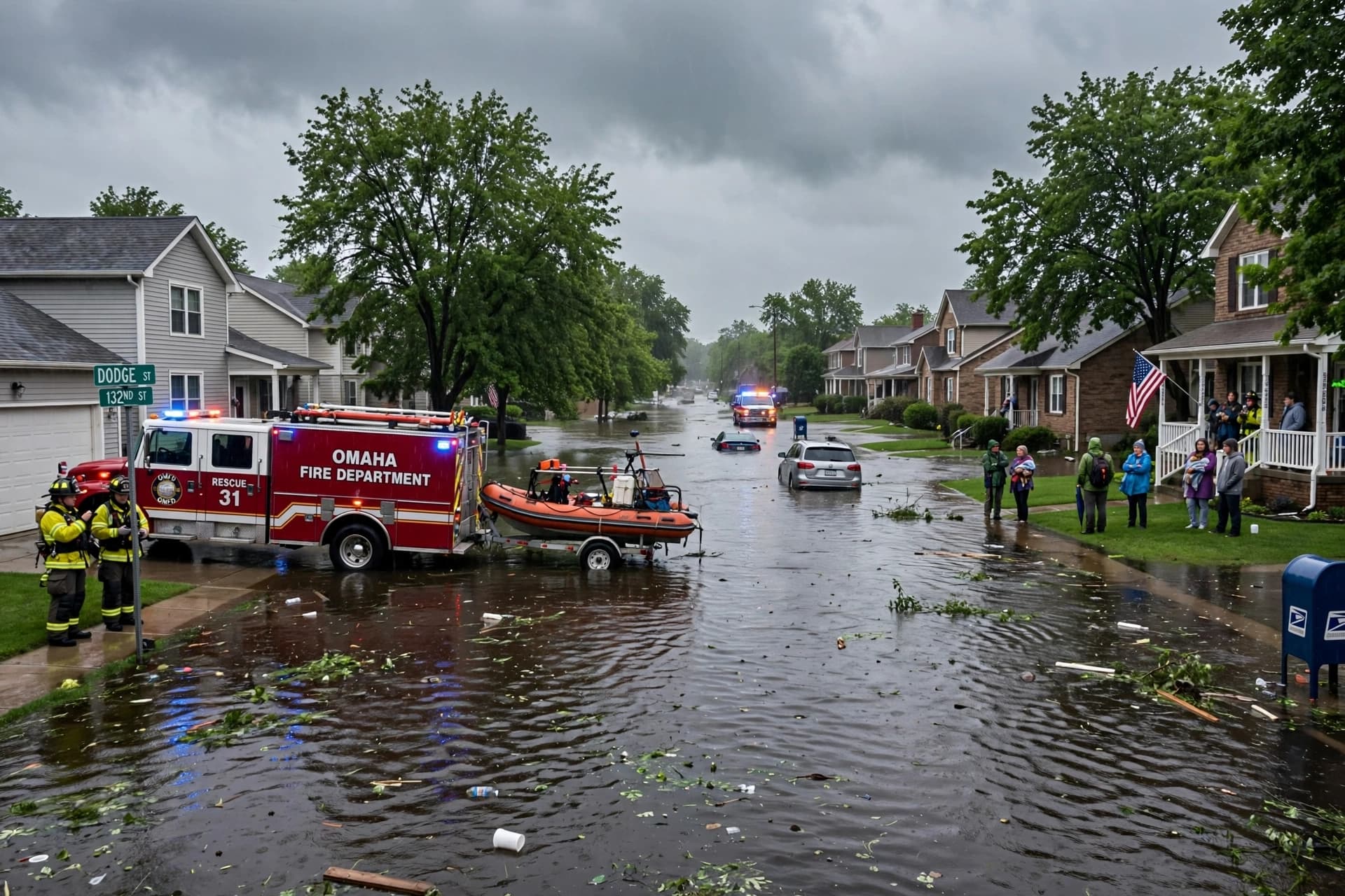
By Thursday morning, water had transformed familiar roads across the Omaha metropolitan area into temporary channels, leaving vehicles stranded and emergency crews moving through neighborhoods where floodwaters reached several feet deep. Overnight storms brought historic rainfall to parts of Nebraska, producing dozens of rescues, widespread road closures and conditions local officials described as approaching a once-in-a-century event.
The Omaha Fire Department responded to about 80 water-rescue calls during a three-hour period from 11 p.m. Wednesday to 2 a.m. Thursday. At the intersection of 62nd and J streets alone, approximately 50 people and several pets were rescued or assisted after floodwaters reached depths of roughly 6 to 8 feet.
The rainfall extended well beyond Omaha. Reports indicated more than 8 inches of rain in parts of Douglas and Saunders counties and more than 7 inches in Sarpy and Washington counties. Lincoln also recorded its wettest single day on record, receiving 6.15 inches at the Lincoln Airport and surpassing a record that had stood since 1910.
Omaha officials described the flooding as exceptional. Jim Theiler, the city's assistant public works director, said the information available indicated that the event had exceeded what would typically be considered a 100-year event across much of the city. The description refers to the statistical rarity of the rainfall event, rather than suggesting that such flooding can occur only once every century.
The flooding quickly disrupted transportation. Highway 370 was closed in both directions between major intersections, while numerous other streets and regional routes were blocked by water. Mudslides also closed roads in western Iowa, adding another layer of difficulty to a morning already marked by detours and emergency response.
The effects reached beyond roads. Thousands of customers experienced power outages overnight, and Omaha Public Schools warned that numerous bus routes would be delayed or unavailable because drivers could not safely reach some areas. Several other Nebraska school districts also announced delayed starts as crews assessed road conditions.
Emergency officials continued warning motorists not to drive through standing water. The National Weather Service and the U.S. Army Corps of Engineers emphasized that floodwater can conceal road damage and become dangerous even when its depth appears manageable. In several Omaha neighborhoods, emergency crews had already encountered vehicles stranded in areas where water rose rapidly.
The Missouri River also responded to the extraordinary rainfall. Omaha Mayor John Ewing said he was told by the National Weather Service that the river had risen about three feet because of the rainfall in the metropolitan area. Meanwhile, several smaller waterways reached record or near-record levels, adding pressure to an already saturated regional landscape.
By Thursday, crews were beginning the difficult transition from rescue to recovery, although many roads remained closed and flood warnings remained active. No deaths or serious injuries had been reported in the local reports reviewed for this article. For Omaha and surrounding communities, the immediate task was straightforward but demanding: keep people out of dangerous water, reopen essential roads and begin assessing what the extraordinary rainfall had left behind.
AI Image Disclaimer: Any visual accompanying this report is an AI-generated representation of the flooding and is not an authentic photograph of the Omaha disaster.
Sources: WOWT 6 News The Reader Nebraska Public Media National Weather Service Omaha Fire Department Omaha Public Power District
Published by Banx Network. This article is part of the Banx decentralized media programme, powered by the BXE token on the XRP Ledger.