
There are places on Earth where time seems to move differently, where centuries once passed unnoticed beneath pale skies and endless cold. From far above Antarctica, however, that illusion is breaking. Seen through the patient eyes of satellites, one glacier in particular tells a quieter, unsettling story — not with noise or collapse, but with steady motion, thinning lines, and retreating edges that mark the passing of a warming world.
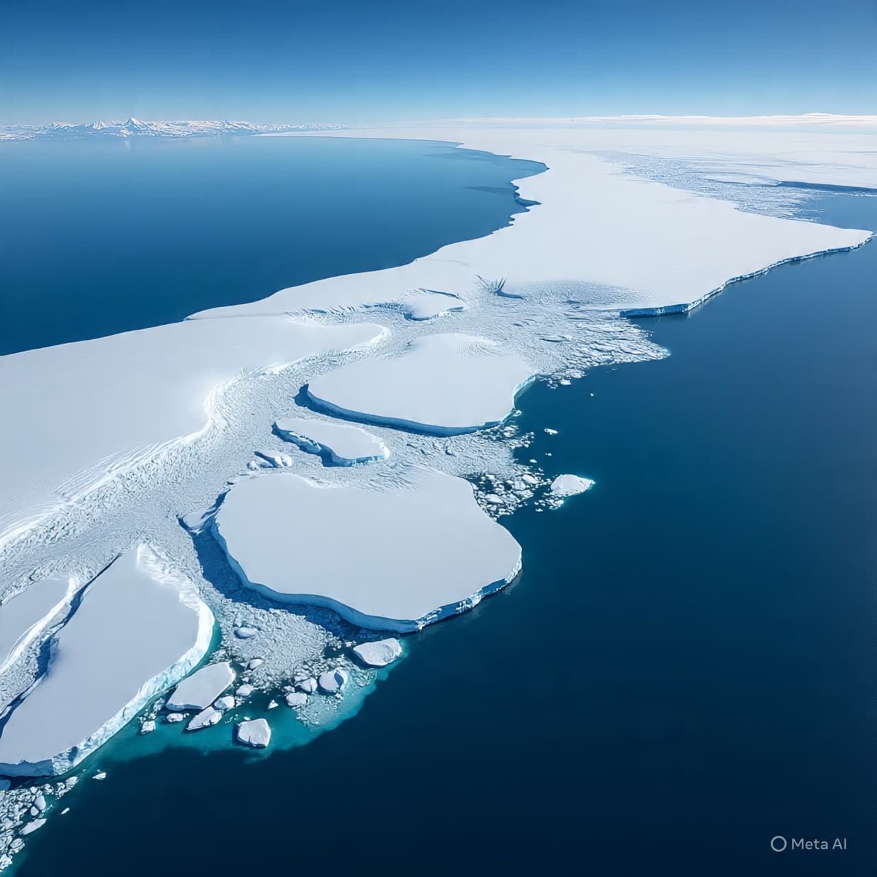
From orbit, Pine Island Glacier appears immense and luminous, a vast river of ice flowing from the heart of West Antarctica toward the Amundsen Sea. Yet this aerial perspective reveals more than beauty. Long ribbons of fractures trace its surface. The glacier’s floating ice shelf, once a firm brace, now shows widening cracks and darker patches where ocean warmth creeps underneath. Each satellite pass captures subtle changes — the ice front pulling back, the surface lowering, the flow quickening — signals that, taken alone, might seem minor, but together speak of acceleration.
Scientists studying these images describe Pine Island as one of Antarctica’s fastest-melting glaciers, not because it vanishes in dramatic bursts, but because it steadily loses mass year after year. Warm ocean currents circulate beneath its ice shelf, thinning it from below. As the shelf weakens, it loses its ability to hold back the inland ice, allowing the glacier to slide faster toward the sea. From above, this motion is visible as shifting textures and altered flow lines etched into the ice like fingerprints of change.
The aerial view also places Pine Island in a wider context. Nearby glaciers follow similar patterns, forming a vulnerable sector of the West Antarctic Ice Sheet. Satellite altimeters show lowering ice surfaces across broad regions, while radar instruments reveal grounding lines retreating inland. These measurements suggest that what is unfolding is not an isolated event, but part of a connected system responding to rising ocean temperatures and atmospheric shifts.
Yet the view from above is not purely observational. It has become essential. Satellites allow scientists to track changes across vast, inaccessible terrain with a consistency no ground expedition could match. They transform the glacier into a long-term record, documenting how ice that once seemed immovable responds to subtle but persistent warming. These observations now inform projections of future sea-level rise, helping researchers estimate how changes in Antarctica could affect coastlines thousands of miles away.
As Pine Island Glacier continues its quiet retreat, the overhead perspective remains both distant and intimate. From space, there is no sound of cracking ice, no rushing water — only patterns changing slowly against a white canvas. It is a reminder that some of the most profound transformations on Earth unfold not in moments of spectacle, but in gradual shifts that only patience, technology, and attention can reveal.
AI Image Disclaimer Illustrations were produced with AI and serve as conceptual depictions.
Sources NASA Earth Observatory Live Science Nature Geoscience ScienceDaily The Guardian
Published by Banx Network. This article is part of the Banx decentralized media programme, powered by the BXE token on the XRP Ledger.



.jpg&w=3840&q=75 "September 2026 Was the Second-Warmest on Record, With Global Temperatures Above 1.5°C for a Second Month")