Opening At the edges of human patterns — where gravel meets green, and the hum of daily life blends with the whisper of rain — Pirongia stands as a quiet testament to both community and circumstance. Those rolling hills and quiet roads, usually brushed by the routine cadence of rural rhythms, were abruptly wrenched from their familiar track. Like a river that suddenly changes course after a storm, the ties that bind this place to the wider world were washed and cracked, leaving people to reckon with how swiftly the ordinary can dissolve into pause.
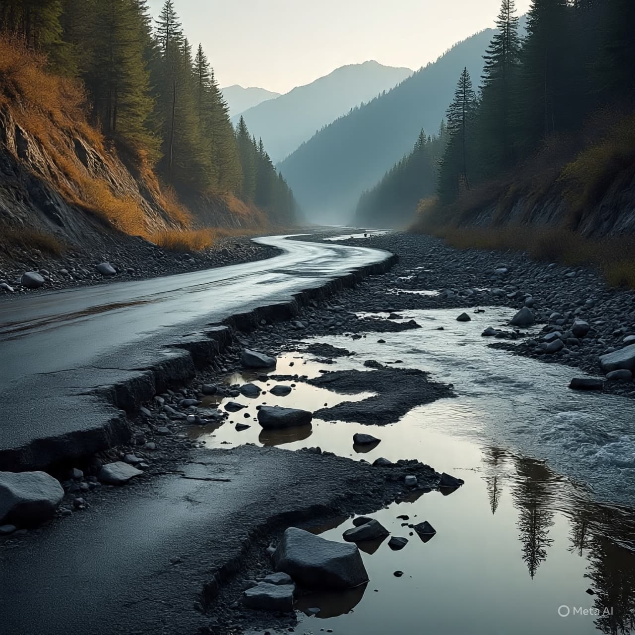
Body When extreme weather struck parts of the Waikato region earlier this month, Pirongia found itself at the epicenter of nature’s unplanned intermission. Flash flooding and heavy downpours unleashed torrents that carried not just water but boulders and logs down from the slopes of Mount Pirongia, tearing at road surfaces and infrastructure. In places where the road once seemed a simple thread connecting families to shops, schools, and jobs, the land now opened into gashes and gaps, rendering routes impassable and livelihoods put on hold.
For the roughly twenty families who live up the mountain on a single access road, the sense of isolation has been tangible. Weeks after the first floods, the primary road remains closed, leaving residents to navigate a longer farm track — passable only on drier days and at the mercy of vehicles willing to make the journey. Water in the village has been rationed, too, after the local reservoir sustained damage, turning everyday chores into exercises in conservation and careful planning.
It is more than the physical inconvenience that weighs on people’s minds. Local voices tell of businesses unable to operate fully, contracts left unattended, and an environment altered by the sheer force of water. Tracks used for conservation work around Mt. Pirongia have been ripped apart, and pest control systems crucial for protecting native birdlife now lie disrupted.
Even as a temporary bridge is planned to reconnect State Highway 39 by mid-March, bringing with it a promise of restored access, the interim weeks carry a feeling that recovery is a slow tide, not a single wave. Crews work amidst debris, councils coordinate resource flows, and neighbours offer support in word and deed. It is an earnest tableau — people figuring out how to keep going while the land literally reshapes itself under their feet.
Closing With states of emergency extended in both Waipā and Ōtorohanga districts, the balance of response and resilience is still being measured day by day. Roads, bridges, tracks, and water systems damaged by the flooding are the immediate focus, alongside hopes that a temporary crossing soon will ease daily enterprise. The work ahead remains substantial, and the pace often modest, but the community’s calm commitment frames each step forward, even as lingering effects remind us all that weather’s moods are part of life’s broader seasons.
AI Image Disclaimer “Illustrations were produced with AI and serve as conceptual depictions.”
Sources RNZ News Waipā and Ōtorohanga District Councils Mirage News NZ Herald
Published by Banx Network. This article is part of the Banx decentralized media programme, powered by the BXE token on the XRP Ledger.