On the remote, icy shores of northwest Greenland, a monumental shift has occurred. A massive slab of ice, roughly the size of Manhattan, has calved from the Petermann Glacier, creating one of the largest Arctic ice islands in recent years. This event, observed by satellite imagery and confirmed by researchers, marks a significant moment in the ongoing narrative of climate change and glacial dynamics. It serves as a stark visual testament to the powerful forces reshaping our polar regions.
The Petermann Glacier, known for its floating ice tongue, has a history of major calving events. In 2010 and 2012, it lost substantial sections, drawing global attention to its instability. The recent break, occurring in August 2026, involved a section approximately 76 square kilometers in area. While such events are part of the natural lifecycle of glaciers, their frequency and scale are being closely monitored in the context of warming temperatures. Scientists note that while this specific calving may be influenced by long-term trends, it also reflects the glacier’s inherent variability.
For the local ecosystem, the creation of an ice island introduces new dynamics. These massive blocks of fresh water drift slowly, affecting ocean currents and marine habitats. They can pose hazards to shipping routes, though the remote location of Petermann minimizes immediate human risk. For researchers, the island offers a unique opportunity to study ice decay, melt rates, and the interaction between freshwater and saltwater in the Arctic Ocean.
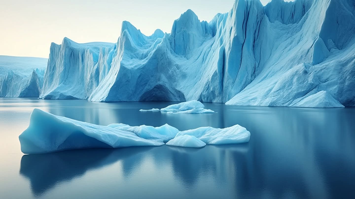
The visual impact of the event is striking. Satellite images reveal the clean, sharp edge where the ice separated, contrasting with the rugged, fractured surface of the remaining glacier. It is a reminder of the sheer scale of these natural structures, which dwarf human constructions. The comparison to Manhattan helps convey the magnitude, making the abstract concept of glacial loss more tangible for the public.
Climate scientists emphasize that while individual calving events are not solely attributable to climate change, the overall trend of ice loss in Greenland is accelerating. The Petermann Glacier holds enough ice to raise global sea levels significantly if it were to melt completely. Monitoring its behavior is crucial for improving predictive models and understanding future sea-level rise. Each calving event adds data points to this critical research.
Public reaction to the news often mixes awe with concern. The beauty of the Arctic landscape is undeniable, yet its fragility is increasingly apparent. Images of the ice island circulate widely, sparking conversations about environmental stewardship and the impacts of global warming. It is a moment for reflection on our relationship with the planet and the responsibility we share to protect its delicate systems.
International research teams are already analyzing the event, using radar and optical sensors to track the island’s movement. Collaborative efforts ensure that data is shared openly, fostering a global understanding of polar changes. The scientific community remains vigilant, aware that the Arctic is a bellwether for broader climatic shifts.
In the end, the breaking of the ice island is both a natural phenomenon and a symbol of change. It invites us to observe, learn, and act. For Greenland, it is a continuation of a long geological process. For the world, it is a reminder of the dynamic nature of our environment and the importance of sustained scientific inquiry.
AI Image Disclaimer: Visuals in this article are AI-generated illustrations of Arctic landscapes and abstract representations of glacial calving, designed to visualize the theme of environmental change without depicting real proprietary satellite imagery or specific geographic coordinates.
Sources: Phys.org, Eco Magazine, Fox Weather, Nautilus
Published by Banx Network. This article is part of the Banx decentralized media programme, powered by the BXE token on the XRP Ledger.