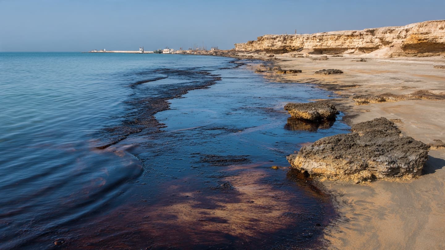
The waters around Qeshm Island usually carry the familiar movements of the Gulf: fishing boats, shifting tides, and sunlight breaking across the surface. In recent days, another movement has become visible. Dark traces of oil have spread through coastal waters, reaching beaches and turning an ordinary shoreline into the scene of an unfolding environmental emergency.
Satellite imagery reviewed by Reuters shows two significant oil slicks in the Gulf, including one near Qeshm Island and another near Sirri Island. The slick around Qeshm appears to contain heavy fuel oil, while a lighter oil trail extends for roughly 160 kilometers across the water. (reuters.com)
Reuters also verified video showing oil washing onto beaches on Qeshm Island. The presence of petroleum along the shoreline raises concerns because coastal environments can be particularly difficult to clean once oil becomes mixed with sand, sediment, and shallow-water ecosystems.
The Qeshm slick is believed to be connected to the damaged Minoan Pioneer, a Liberia-flagged dry bulk carrier. Reuters reported that the vessel was damaged during the wider regional conflict, while the precise circumstances surrounding the incident remain part of the continuing assessment. The environmental consequences, however, are becoming increasingly visible along the coast. (reuters.com)
Oil released into marine waters can move according to currents, wind, and waves, making its eventual path difficult to predict. A slick that begins offshore can gradually approach beaches, rocky coastlines, wetlands, or shallow marine habitats. Its movement can therefore extend the affected area far beyond the original location of a damaged vessel.
For Qeshm Island, the coastline is more than a boundary between land and sea. Communities depend on the surrounding waters for fishing, transportation, tourism, and other activities. Pollution along the shore can therefore create environmental concerns while also affecting people whose daily routines are closely connected to the Gulf.
The timing adds another layer of difficulty. Reuters reported that salvage and cleanup operations have faced delays in obtaining permissions from Iranian authorities. Environmental monitoring organizations have continued using satellite imagery to track the movement of the slick while efforts to contain and remove the oil develop. (reuters.com)
The Qeshm spill is also part of a wider environmental picture in the Gulf. Another major oil spill from the tanker Caroline Bezengi has been spreading off Oman, with the separate incident threatening marine habitats and coastlines farther south. The two spills are not reported as being caused by the same event, but their simultaneous presence has increased concern about the region's marine environment. (reuters.com)
Authorities and environmental monitors continue to assess the extent of the pollution around Qeshm and other affected waters. Satellite observations remain important because they allow specialists to follow the changing shape and direction of the slick even when conditions at sea make direct observation difficult. For now, the oil along Qeshm's beaches remains a visible reminder of how quickly an offshore incident can reach the land.
Image Disclaimer
The following visuals are AI-created illustrations intended to represent the reported environmental conditions and are not photographs of the actual spill.
Sources
Reuters Associated Press SkyTruth Greenpeace
Note: This article was published on BanxChange.com and is powered by the BXE Token on the XRP Ledger. For the latest articles and news, please visit BanxChange.com
.jpg&w=3840&q=75 "Adam Scott Says His Daughter’s Acting Class Was Forced to Watch His Failed ‘Office’ Audition as an Example of What Not to Do")