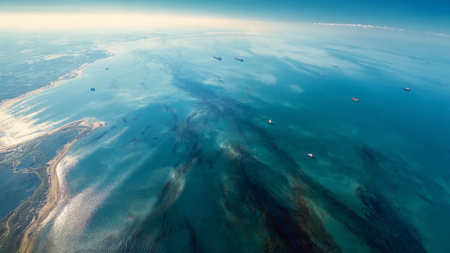
From above, the Persian Gulf can appear almost motionless, a wide surface of blue framed by islands and distant coastlines. Yet beneath that calm appearance, currents are carrying an expanding environmental problem. Satellite images reviewed this week show oil spreading near two Iranian islands, bringing renewed attention to the vulnerability of Gulf waters.
Reuters reported that one major slick is located near Qeshm Island, while another has appeared near Sirri Island. The Qeshm slick is believed to involve heavy fuel oil, with a lighter slick extending approximately 160 kilometers. The imagery provides a broad view of pollution that is difficult to understand from the shoreline alone. (reuters.com)
At Qeshm, the environmental problem has already reached land. Reuters verified footage showing oil washing onto beaches, transforming sections of the shoreline from clean sand and shallow water into areas requiring monitoring and potential cleanup. Once petroleum reaches coastal sediment, removing it can become more complicated than containing a slick offshore.
The suspected source of the Qeshm pollution is the damaged Minoan Pioneer, a dry bulk carrier registered in Liberia. Reuters reported that the vessel was damaged during the regional conflict, and the resulting leak has created an environmental concern separate from the broader security questions surrounding maritime traffic. (reuters.com)
Oil does not remain fixed in one place. Wind and currents can stretch a slick into long, irregular patterns, while waves can break petroleum into smaller particles that are harder to track. The movement makes satellite monitoring particularly valuable, allowing researchers to observe changes across large areas of water.
The environmental consequences can extend into marine habitats. Oil can coat shorelines, affect birds and other wildlife, and interfere with organisms living near the surface or in shallow waters. The extent of damage depends on the type of oil, the duration of exposure, weather conditions, and the characteristics of the affected coastline.
Iranian authorities have been dealing with cleanup and monitoring efforts while environmental organizations continue to follow the spill through satellite observations. Reuters reported that efforts to address the Qeshm pollution have been complicated by delays involving permissions for salvage and cleanup operations. (reuters.com)
The presence of another large spill near Oman has made the wider Gulf region even more environmentally sensitive. That separate spill, involving the grounded Caroline Bezengi tanker, has expanded substantially and reached parts of the Omani coastline. Although the incidents are separate, they place additional attention on marine ecosystems already exposed to heavy shipping activity. (apnews.com)
For Qeshm and Sirri, the coming days will depend heavily on the movement of the oil and the effectiveness of containment and cleanup measures. Satellite images will continue to provide a changing map of the affected waters, while authorities and environmental groups assess what reaches the shore. The Gulf remains active beneath its familiar blue surface, but the dark trails visible from above have become an increasingly important environmental story.
Image Disclaimer
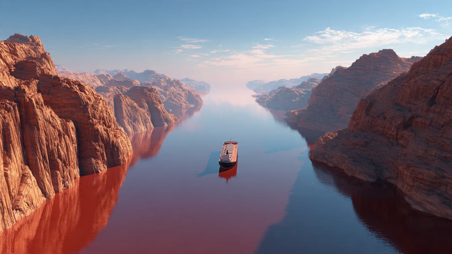
AI-generated illustrations accompany this article as conceptual visualizations and should not be interpreted as authentic photographs.
Sources
Reuters Associated Press SkyTruth Greenpeace
Note: This article was published on BanxChange.com and is powered by the BXE Token on the XRP Ledger. For the latest articles and news, please visit BanxChange.com