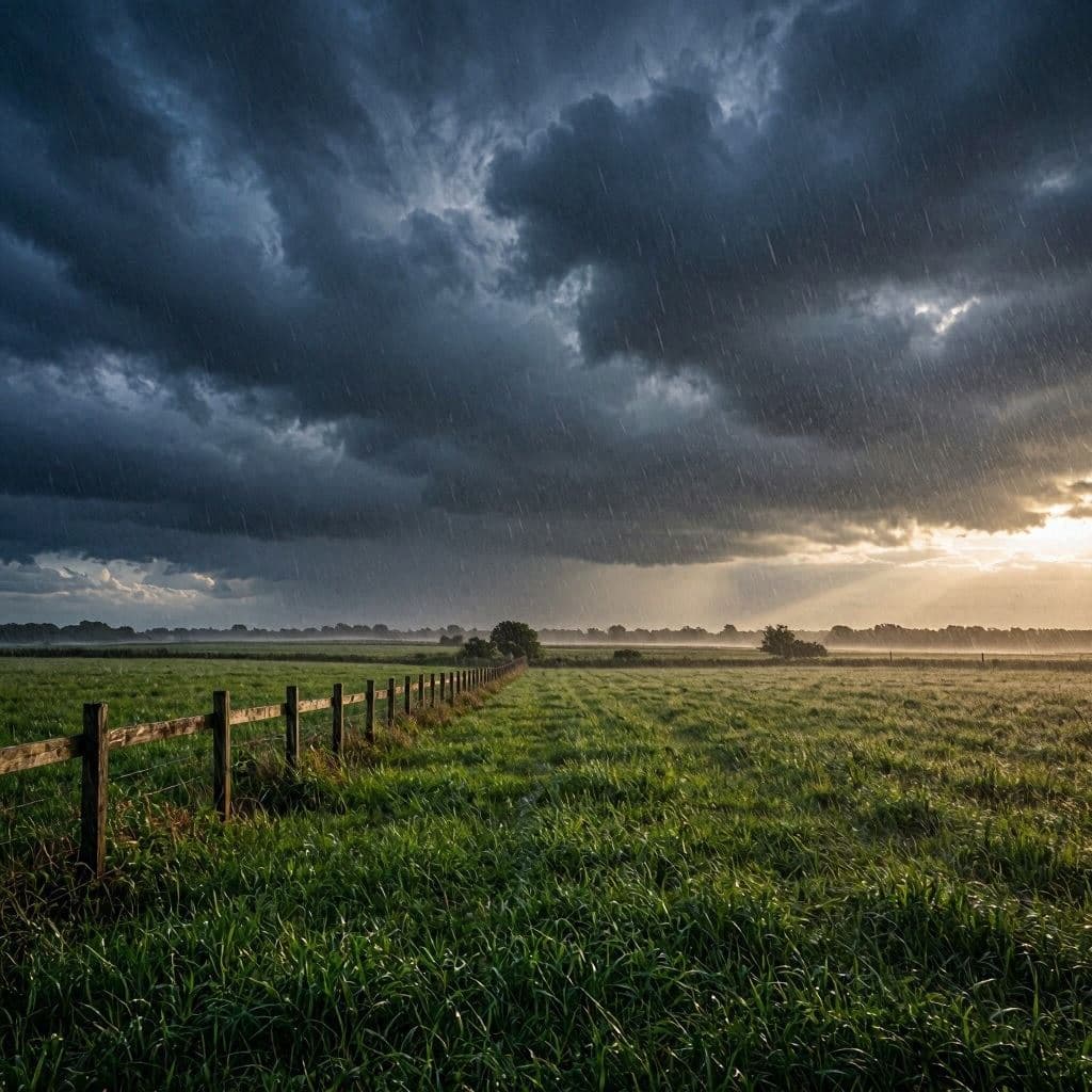
As the summer heat begins to build across the region, the sky offers a mixed promise of relief and disruption. Meteorologists have issued warnings for severe weather on Monday, predicting strong storms that will bring much-needed rain to parched landscapes. This dual nature of the forecast—offering both hydration and hazard—reflects the complex dynamics of summer weather patterns. For farmers and residents alike, the coming days will require careful preparation and vigilance.
The rain, anticipated after a period of dry conditions, is expected to replenish soil moisture and support agricultural growth. However, the accompanying threat of damaging winds, hail, and lightning means that the benefits come with significant risks. Balancing these outcomes is key to navigating the storm safely.
Body: The Storm Prediction Center has identified a marginal to slight risk of severe thunderstorms for parts of the Midwest and Northeast on Monday. Atmospheric conditions, including high humidity and instability, are favorable for the development of strong cells. Forecasters advise that while not every storm will be severe, those that do form could produce intense weather phenomena.
Rainfall amounts are expected to vary, with some areas receiving up to an inch or more. This precipitation is crucial for crops that have suffered from recent dry spells, providing a boost to yields and reducing the need for irrigation. For gardeners and homeowners, the rain offers a chance to water plants naturally and cool down the environment.
However, the potential for flash flooding remains a concern, particularly in urban areas with poor drainage. Residents are urged to avoid driving through flooded roads and to stay informed about local weather alerts. Emergency management agencies are monitoring the situation closely, ready to respond to any incidents that may arise.
Wind gusts of up to 60 miles per hour are possible in the strongest storms, posing a risk to trees and power lines. Utilities have prepared crews to address outages quickly, but customers should expect some disruptions. Securing outdoor furniture and trimming loose branches can help minimize damage to property.
Hail is another potential hazard, with stones ranging from pea-sized to quarter-sized reported in similar past events. Vehicles and roofs are vulnerable to hail damage, so seeking shelter indoors is the safest option during peak storm activity. Insurance providers recommend documenting any damage for future claims.
For outdoor enthusiasts, Monday’s forecast suggests postponing plans until the weather clears. Parks and recreational areas may close temporarily if conditions deteriorate. Checking local advisories before heading out is essential for ensuring personal safety.
Despite the risks, the rain is welcomed by many who have endured weeks of high temperatures and low humidity. It provides a psychological break from the heat and a sense of renewal for the natural world. The sound of rain on rooftops is a comforting reminder of nature’s cycles.
As the day approaches, staying updated with reliable weather sources is crucial. Apps and local news outlets will provide real-time information on storm tracks and intensity. Being prepared allows individuals to enjoy the benefits of the rain while minimizing exposure to danger.
Closing: Monday’s severe weather threat brings with it the gift of rain, a vital resource for the region. By staying informed and taking precautions, communities can weather the storm and appreciate the refreshment it brings.
AI Image Disclaimer: The images featured in this story are AI-generated illustrations designed to reflect the duality of stormy weather and rainfall.
Sources: National Weather Service Storm Prediction Center NJ.com
Note: This article was published on BanxChange.com and is powered by the BXE Token on the XRP Ledger. For the latest articles and news, please visit BanxChange.com