The skies over the Upper Midwest have long been known for their dramatic shifts, where calm mornings can give way to turbulent afternoons. In Minnesota, residents are once again preparing for such a transition as meteorologists forecast a period of severe storms capable of delivering up to four inches of rain, bringing both the promise of relief from dry spells and the risk of localized flooding.
The National Weather Service has indicated that a strong low-pressure system is moving into the region, carrying with it ample moisture and instability. This combination creates ideal conditions for thunderstorms that could produce heavy rainfall, strong winds, and potentially hail. The forecast highlights the need for vigilance, particularly in areas prone to rapid water accumulation.
Four inches of rain in a short period is a significant amount that can overwhelm urban drainage systems and saturate rural soils. Farmers, while often welcoming rain for crops, must also be cautious of field erosion and planting delays. Urban planners and homeowners are reminded to clear gutters and check sump pumps to mitigate potential water intrusion into buildings.
Severe storm warnings also bring attention to safety protocols. Residents are advised to stay indoors during peak storm activity, avoid driving through flooded roads, and keep emergency kits ready. Power outages are a common companion to severe weather, so having flashlights, batteries, and non-perishable food on hand is a prudent measure for any household.
The atmospheric dynamics driving these storms are part of a larger pattern affecting the central United States. Jet stream fluctuations and temperature contrasts between air masses contribute to the intensity of these weather events. Meteorologists continue to monitor these patterns closely, providing updates as the system evolves and moves through the state.
Local schools and businesses may adjust schedules depending on the severity of the storms, prioritizing the safety of students and employees. Communication channels remain open, with local news outlets and weather apps providing real-time alerts. Staying informed is key to navigating these weather challenges effectively and minimizing disruption.
As the storms pass, the landscape will likely be refreshed, with greenery revitalized by the much-needed moisture. However, the immediate focus remains on safety and preparedness. Community networks play a crucial role in sharing information and assisting those who may be vulnerable during severe weather events.
Minnesota braces for a wet and potentially stormy period, with residents encouraged to stay informed and prepared. While the rain brings challenges, it also underscores the dynamic nature of the region’s climate and the importance of adapting to its rhythms.
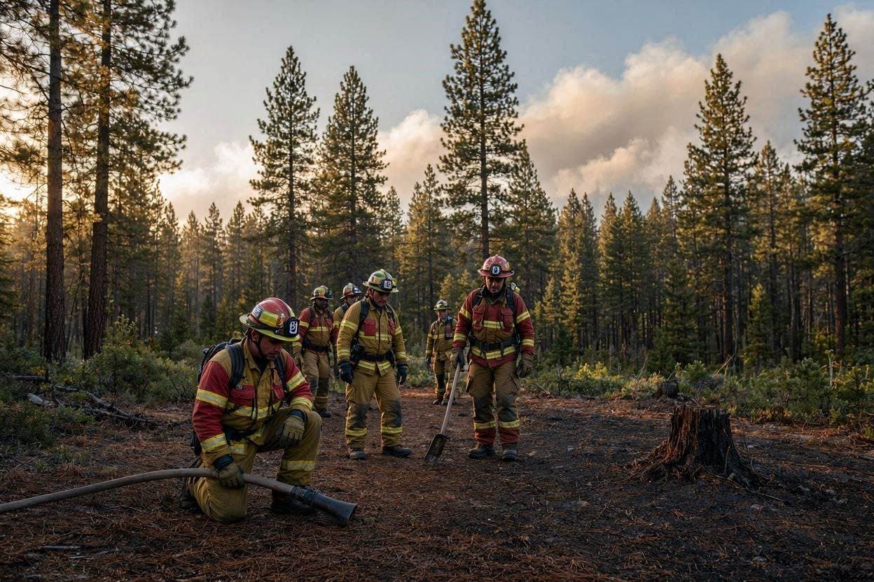
AI Image Disclaimer: The images used in this article are AI-generated visuals created to illustrate the theme of severe weather and storm preparedness in Minnesota.
Sources: Bring Me The News, National Weather Service, Fox 9 Minneapolis, St. Cloud State University Weather
Note: This article was published on BanxChange.com and is powered by the BXE Token on the XRP Ledger. For the latest articles and news, please visit BanxChange.com