Opening: When the earth shakes, the scars it leaves are not always visible to the naked eye. Beneath the rubble and dust of Venezuela’s recent earthquakes, the ground itself has shifted, moved, and settled in ways that tell a story of immense geological force. NASA satellites, orbiting hundreds of miles above, have captured these subtle movements, providing a critical map of the disaster’s physical impact.
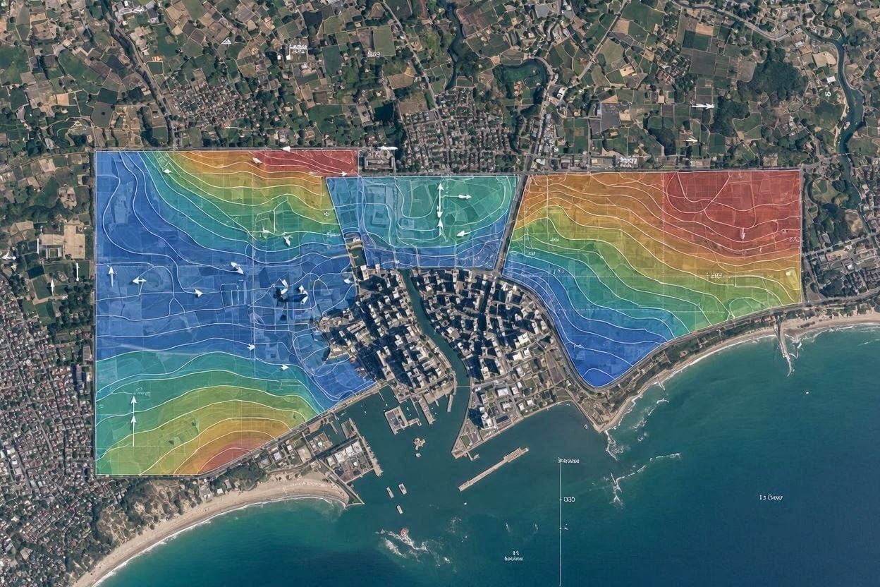
Body: Using radar data from satellites such as NISAR and Sentinel-1, scientists have created detailed maps of ground displacement in the affected regions, particularly in La Guaira and Caracas. These interferometric synthetic aperture radar (InSAR) images reveal how much the land surface moved during the June 2026 tremors, with some areas experiencing shifts of several meters. This data is invaluable for understanding the fault mechanics and the extent of the deformation.
The maps show a clear pattern of movement along the fault lines, confirming the strike-slip nature of the earthquakes. By comparing pre- and post-event imagery, researchers can identify areas of uplift and subsidence. This information helps seismologists model the stress release and predict where future aftershocks might occur, aiding in risk assessment for remaining structures.
For emergency responders and urban planners, this satellite data is a practical tool. It highlights areas where infrastructure may have been compromised even if buildings appear intact. Roads, bridges, and pipelines that have been subjected to significant ground strain are at higher risk of failure. Identifying these zones allows for targeted inspections and repairs, improving public safety.
The technology behind these observations has advanced significantly in recent years. Higher resolution and more frequent passes allow for near-real-time monitoring of disaster zones. This capability transforms satellite imagery from a passive record into an active component of disaster response, enabling faster and more informed decision-making by local authorities.
International collaboration plays a key role in this effort. Data from various space agencies is shared openly, ensuring that countries affected by natural disasters have access to the best available tools. This global network of observation supports humanitarian efforts and scientific research alike, fostering a spirit of cooperation in times of crisis.
The human element remains central to the interpretation of this data. Scientists work closely with local experts to ground-truth the satellite findings, ensuring that the digital maps align with reality on the ground. This combination of remote sensing and local knowledge creates a comprehensive picture of the disaster’s impact.
Closing: As recovery efforts continue in Venezuela, the data provided by NASA satellites will remain a vital resource. It offers a clear, objective view of the earth’s movement, guiding reconstruction and helping communities rebuild with a better understanding of the risks they face.
AI Image Disclaimer: The accompanying visuals are AI-generated representations intended to illustrate the context of the article and do not depict actual satellite imagery.
Sources: NASA Science Wired Earthquake Insights GIS Earthdata
Published by Banx Network. This article is part of the Banx decentralized media programme, powered by the BXE token on the XRP Ledger.