
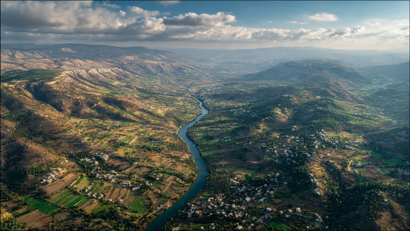
In southern Lebanon, rivers often move with a patience that contrasts sharply with the urgency of human affairs. The Litani River winds through valleys of stone and olive trees, tracing a path that has long connected villages, farmland, and histories layered across generations. From the surrounding hills, the river appears almost timeless, a quiet ribbon of water threading through landscapes that have witnessed empires, borders, and conflicts come and go.
Yet even the most familiar landmarks can take on new meaning during moments of upheaval.
In recent days, the Litani has become more than a geographic feature. Israeli forces have crossed the river as part of an expanded ground operation in southern Lebanon, marking a significant development in a conflict that continues to reshape the region’s political and physical terrain. The crossing carries symbolic as well as military significance. For decades, the river has occupied a prominent place in discussions surrounding security arrangements, ceasefire agreements, and the delicate balance that has defined much of the border area.
The movement comes amid intensified fighting between Israel and the Lebanese armed group Hezbollah, a confrontation that has steadily expanded beyond the exchanges of fire that characterized earlier phases of tension. Airstrikes, artillery fire, and ground operations have altered daily life across communities on both sides of the frontier, leaving residents navigating a landscape where familiar routines are repeatedly interrupted by uncertainty.
Military officials have described the operation as part of an effort to target Hezbollah infrastructure and reduce threats near Israel’s northern border. The advance beyond the Litani River suggests a widening operational scope, drawing attention from regional observers and international diplomats alike. For many analysts, the river’s crossing represents not merely a tactical maneuver but a reminder of how geographic boundaries can become focal points during periods of escalation.
The Litani itself carries historical resonance. Following earlier conflicts, international agreements frequently referenced the river as a marker within broader security frameworks designed to reduce hostilities in southern Lebanon. Over time, it became part of the vocabulary of diplomacy, appearing in resolutions, negotiations, and strategic assessments. Its name often surfaced whenever discussions turned toward stability, deterrence, and the prospects for lasting calm.
Today, however, those diplomatic references compete with the realities unfolding on the ground. Villages throughout southern Lebanon have experienced displacement as residents move away from areas exposed to combat. Roads once used primarily by farmers and local travelers now carry humanitarian convoys, emergency services, and those seeking temporary refuge elsewhere. The landscape remains recognizable, yet its rhythm has changed.
Across the border, communities in northern Israel continue to face concerns over rocket fire and security threats that have persisted throughout the conflict. The exchange of attacks has created a cycle of disruption affecting civilian populations on both sides. In such circumstances, geography ceases to be merely physical; it becomes intertwined with questions of safety, memory, and belonging.
International attention has followed the developments closely. Diplomatic efforts continue as governments and organizations seek ways to prevent further escalation. Yet the challenge remains formidable. The conflict exists within a wider regional environment already shaped by overlapping crises, shifting alliances, and competing strategic interests. Each military movement is therefore viewed not only for its immediate consequences but also for its potential implications beyond the border itself.
The river, meanwhile, continues its journey toward the Mediterranean Sea. Its waters pass beneath bridges and through valleys largely indifferent to the calculations of commanders and policymakers. Nature maintains its own chronology even as human events accelerate around it.
As evening settles across southern Lebanon, the outlines of hills soften beneath fading light. Smoke may linger over distant ridges, while conversations in homes, shelters, and military command centers continue long after sunset. The questions raised by the latest advance remain unresolved, suspended between military objectives and diplomatic aspirations.
For now, one fact stands clearly amid the uncertainty: Israeli forces have crossed the Litani River in an expanded ground offensive, deepening a conflict whose consequences extend well beyond the banks of a single waterway. And as the river continues to flow through the landscape, it carries with it another chapter in a story where geography and history remain inseparably linked.
AI Image Disclaimer: These illustrations were generated using AI and are intended as visual representations of the topic rather than authentic photographs.
Sources:
Reuters Associated Press BBC News Al Jazeera United Nations Reports
Note: This article was published on BanxChange.com and is powered by the BXE Token on the XRP Ledger. For the latest articles and news, please visit BanxChange.com