Morning returned slowly to Flores after the violent movement beneath the island. In some places, daylight revealed cracked walls and damaged houses; in others, roads had disappeared beneath landslides. The earthquake had passed, but its physical presence remained across the landscape, written into buildings, slopes, and the routes connecting communities.
The magnitude 7.7 earthquake struck offshore near Nagekeo Regency in East Nusa Tenggara early on August 15. Indonesia's disaster agency BNPB reported that the epicenter was approximately 38 kilometers northeast of Mbay, at a depth of around 15 kilometers. (bnpb.go.id)
The shaking was strong enough to cause extensive damage in several parts of Flores. Homes and other structures collapsed, roads were disrupted, and landslides affected access between communities. Emergency teams faced the difficult task of determining where the greatest needs were while communications remained disrupted in some areas.
The human toll grew as rescue operations continued. Reuters reported that at least 38 people had died, including 20 people in Maumere and 16 people killed by a landslide in Reok village. More than a dozen people were injured, while thousands of residents were reported to have evacuated affected areas. (reuters.com)
The geography of Flores made the response particularly difficult. Mountains rise close to coastal communities, while roads frequently follow narrow and winding routes through steep terrain. When an earthquake triggers landslides, the same geography that connects communities can also become an obstacle to reaching them.
The Trans-Flores highway, an important road across the island, was affected by the earthquake and landslides. The road's condition matters not only for everyday travel but also for emergency vehicles carrying medical teams, equipment, food, and other necessities toward damaged communities.
Helicopters and other transportation resources were being used to support rescue efforts. The Associated Press reported that authorities were working to reach affected areas while assessing damage and assisting people who had been displaced. (apnews.com)
The earthquake also briefly raised concerns about a tsunami because its epicenter was offshore. Authorities issued a warning that prompted coastal residents to move toward safer areas, but the alert was later lifted after monitoring showed no significant continuing tsunami threat. The immediate danger therefore shifted back toward the damage already visible on land.
For residents, recovery begins with practical questions: whether a damaged home can be entered safely, whether roads are passable, and whether electricity and communication services have returned. Those questions are often answered gradually, as engineers inspect structures and emergency teams move from one affected location to another.
The full recovery will take longer than the first response. Roads must be cleared, damaged buildings assessed, and displaced families supported. As authorities continue collecting information, Flores is entering the next stage of the disaster—one measured not only in casualties, but in the slow restoration of roads, homes, services, and everyday routines.
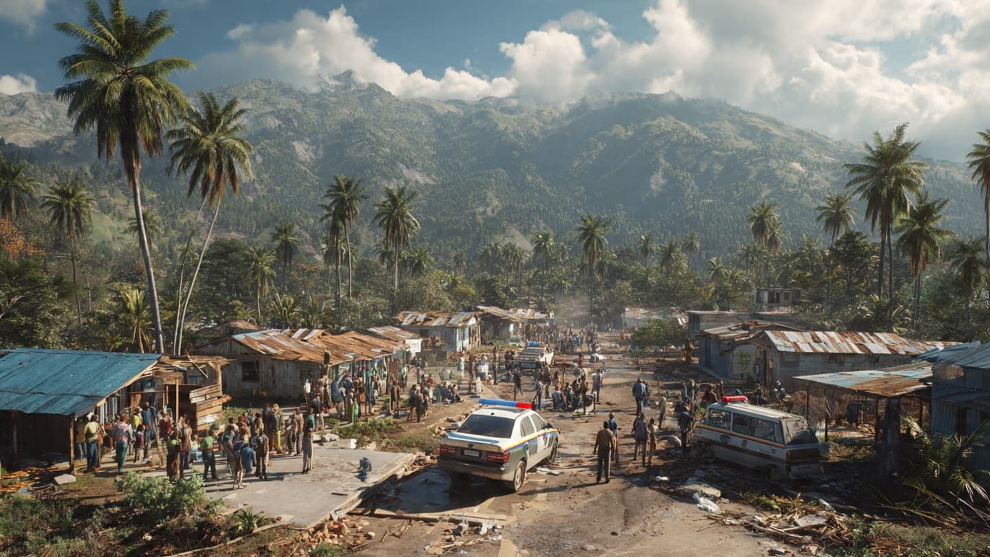
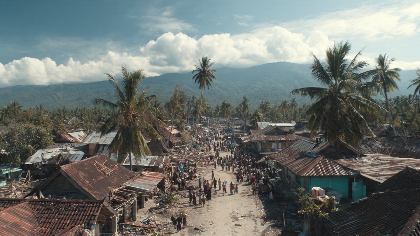
Image Disclaimer
These visuals were generated with AI to provide conceptual representations of the earthquake aftermath and are not actual photographs from Flores.
Sources
Reuters Associated Press BNPB BMKG
Note: This article was published on BanxChange.com and is powered by the BXE Token on the XRP Ledger. For the latest articles and news, please visit BanxChange.com