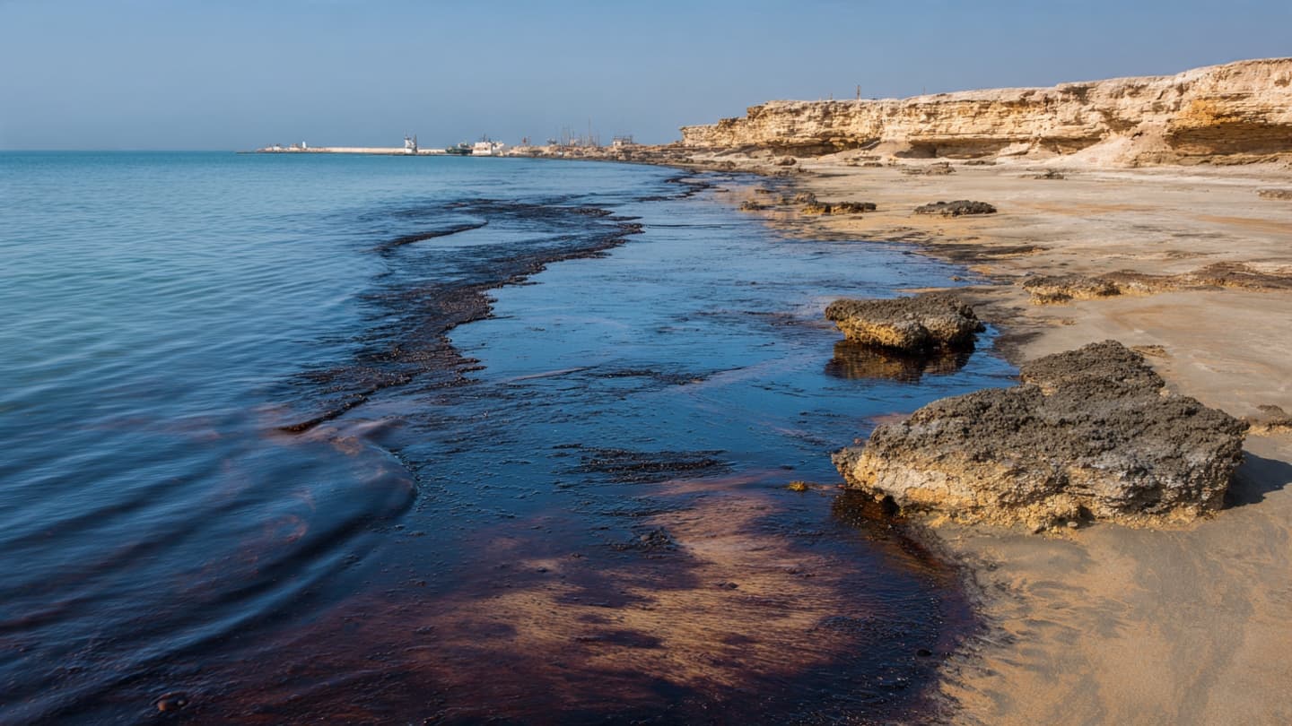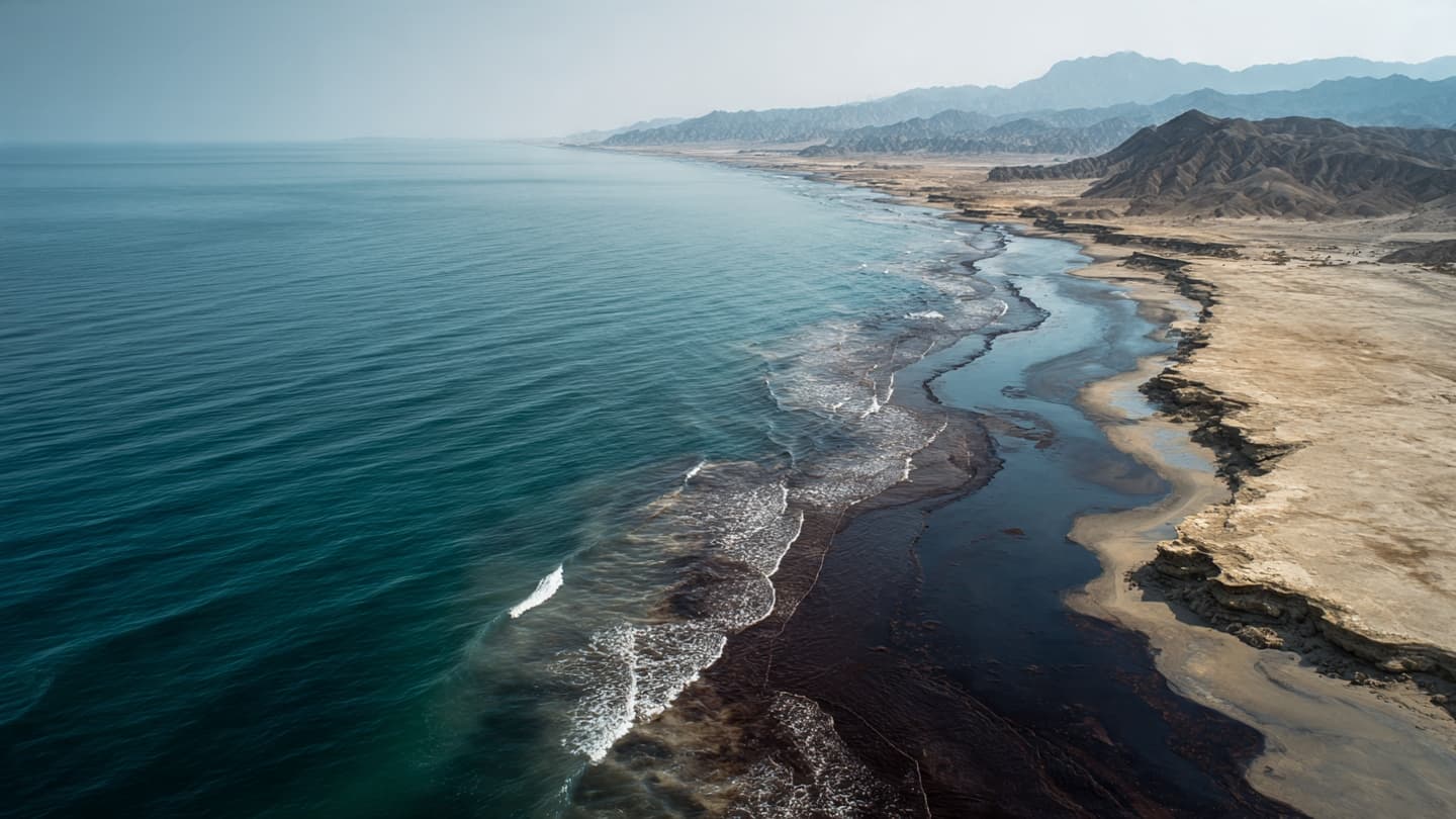
The shoreline of Qeshm is shaped by the Gulf's constant movement. Water advances and retreats with the tide, boats cross between coastal communities, and sunlight changes the color of the sea throughout the day. Recently, however, an unfamiliar darkness has appeared along parts of that coastline as oil reaches the island's beaches.
Reuters reported that satellite imagery showed a large oil slick near Qeshm Island, along with another slick near Sirri Island. The Qeshm slick is believed to involve heavy fuel oil, while a lighter trail stretches roughly 160 kilometers across the Gulf. (reuters.com)
The movement from open water toward the beach is particularly significant. Once oil reaches sand, rocks, or shallow coastal habitats, it can become more difficult to contain. Waves may spread the petroleum across a wider section of shoreline, while sediment can trap it beneath the surface.
The suspected source is the Minoan Pioneer, a Liberia-flagged dry bulk carrier that was damaged in the region. Reuters reported that the vessel is believed to be connected to the Qeshm spill, although environmental specialists continue monitoring the exact extent of the pollution. (reuters.com)
Satellite monitoring has become an important part of the response. From orbit, specialists can observe the shape of the slick over large areas and compare images taken at different times. This helps provide information about whether the oil is expanding, moving, breaking apart, or approaching additional coastlines.
The environmental implications depend on where the oil travels. Marine organisms near the surface can be exposed to petroleum, while coastal ecosystems can retain oil for longer periods. Beaches, rocky shores, shallow waters, and wetlands each respond differently, making the overall impact difficult to measure immediately.
Qeshm's communities are closely connected to the surrounding sea. Fishing, transportation, and tourism are among the activities influenced by coastal conditions. Pollution can therefore affect both the environment and the practical relationship between residents and the water surrounding the island.
Cleanup has also been complicated by operational challenges. Reuters reported that salvage and cleanup efforts faced delays in obtaining necessary permissions, while environmental monitoring groups continued using satellite data to track the slick. (reuters.com)
The Qeshm incident is unfolding alongside a separate major oil spill near Oman involving the tanker Caroline Bezengi. Although the incidents are separate, their simultaneous presence has drawn attention to the environmental pressures facing Gulf and nearby Arabian Sea waters.
For Qeshm, the immediate priority remains determining how far the oil has spread and how much of the shoreline is affected. Monitoring and cleanup efforts continue while currents carry the slick through the Gulf. The sea remains in constant motion, and so does the environmental picture emerging along Iran's island coast.
Image Disclaimer
The accompanying visuals are AI-generated conceptual illustrations intended to depict the reported oil spill environment and are not real photographs.
Sources
Reuters Associated Press SkyTruth Greenpeace
Note: This article was published on BanxChange.com and is powered by the BXE Token on the XRP Ledger. For the latest articles and news, please visit BanxChange.com