
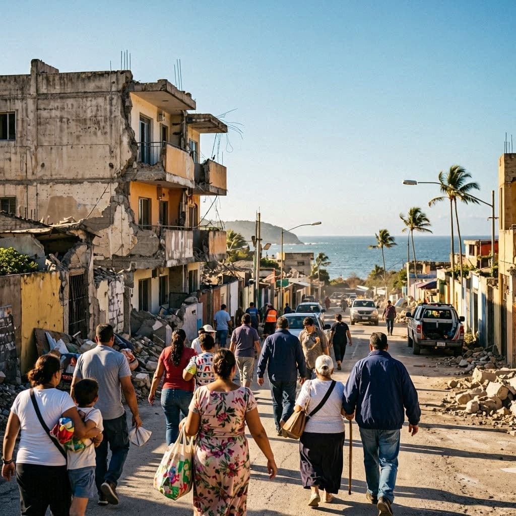
The Pacific coastline often appears timeless, where the rhythm of waves offers a sense of continuity. Yet beneath that familiar surface, powerful tectonic forces continue their slow movement, occasionally reminding entire regions that stability can change within seconds. Along the southern coast of Mexico near the Guatemalan border, that reminder arrived with a powerful earthquake that prompted emergency precautions across Central America.
A magnitude 7.3 earthquake struck off the coast of Chiapas, Mexico, near the border with Guatemala, according to the U.S. Geological Survey (USGS). The quake occurred at a depth of about 15 kilometers and was felt across southern Mexico, Guatemala, and parts of El Salvador.
The strong shaking prompted residents to evacuate homes, offices, hospitals, and public buildings as emergency protocols were activated. In Guatemala City and communities closer to the epicenter, many people gathered outdoors while officials assessed infrastructure and monitored reports of possible damage.
Following the earthquake, the U.S. Tsunami Warning System issued a tsunami threat for portions of the Pacific coasts of Mexico and Guatemala, warning that waves between 0.3 and 1 meter above normal tide levels were possible. Mexican authorities advised residents and visitors to stay away from beaches while coastal conditions were evaluated.
Several aftershocks, including some measuring between magnitude 5 and 6, followed the main earthquake. Emergency agencies continued inspections of roads, buildings, and public infrastructure, while local governments maintained communication with communities in potentially affected areas.
Initial assessments indicated no widespread structural damage or fatalities. Mexican President Claudia Sheinbaum and Guatemalan officials reported that emergency monitoring would continue as inspection teams gathered more information from affected regions. Authorities also confirmed that the tsunami threat was later reduced and ultimately lifted after further analysis.
The region sits along the boundary of several active tectonic plates, making earthquakes a recurring feature of life. Because of this geological setting, emergency preparedness, evacuation procedures, and public awareness remain essential parts of disaster management throughout southern Mexico and neighboring countries.
Officials continue monitoring aftershocks while engineers inspect critical infrastructure across the affected region. Although the immediate tsunami threat has passed, authorities are encouraging residents to remain attentive to official updates as recovery and safety assessments continue.
AI Image Disclaimer: The accompanying images are AI-generated visual representations created to illustrate the reported event and are not actual photographs.
Sources (verified): Reuters, Associated Press, U.S. Geological Survey (USGS), CBS News
Note: This article was published on BanxChange.com and is powered by the BXE Token on the XRP Ledger. For the latest articles and news, please visit BanxChange.com