
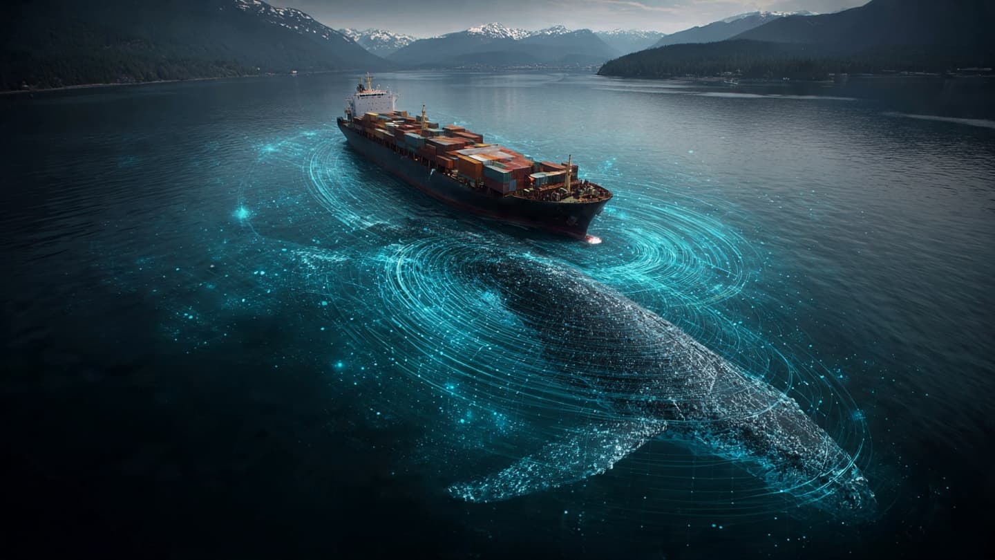
The ocean is a place of immense movement. Cargo ships cross international routes carrying goods between continents, while beneath the surface, whales undertake migrations that have followed ancient paths for generations. Occasionally these journeys intersect, creating risks for some of the largest creatures on Earth. In San Francisco, new technology is being deployed in an effort to reduce such encounters.
Artificial intelligence is now being used to help identify whale activity in busy maritime areas. By analyzing data from sensors, acoustic monitoring systems, satellite observations, and vessel tracking networks, researchers aim to provide more accurate information about where whales are likely to be present. The initiative reflects a growing effort to combine conservation goals with technological innovation.
Ship strikes remain one of the significant threats facing several whale species worldwide. Large vessels moving through migration corridors can unintentionally collide with marine mammals, sometimes causing serious injury or death. While regulations and route management have reduced risks in certain areas, experts continue searching for additional solutions.
AI offers the ability to process vast amounts of information quickly. Traditional monitoring methods often require extensive human review, whereas machine learning systems can identify patterns in real time. This capability may allow maritime operators to receive more timely guidance regarding whale presence near shipping lanes.
San Francisco's coastal waters are particularly important because they serve as habitat and migration routes for several whale species. Seasonal movements bring animals through regions that also support active commercial shipping. Balancing ecological protection with economic activity has therefore become an ongoing priority for environmental agencies and industry stakeholders.
Marine scientists view the project as an example of how conservation strategies are evolving. Modern environmental management increasingly relies on advanced technologies, including satellite imagery, underwater sensors, drones, and predictive modeling systems. Together, these tools provide insights that were difficult to obtain only a decade ago.
Shipping companies have also shown interest in such initiatives. Improved awareness of whale locations may help operators adjust speeds or routes when necessary, reducing risks while maintaining efficient operations. Collaborative approaches often yield better outcomes than solutions developed in isolation.
The project highlights a broader trend toward data-driven conservation. Rather than reacting only after incidents occur, researchers seek to anticipate risks and prevent them before they develop. Predictive technologies offer new possibilities for achieving this objective across diverse environmental contexts.
Challenges remain. Ocean conditions change constantly, and no monitoring system can guarantee perfect accuracy. Scientists continue refining algorithms, improving data collection methods, and evaluating system performance under varying conditions. Ongoing research will determine how effectively these tools support conservation goals over time.
Yet there is something encouraging about the effort itself. In a world where technology is often associated with speed and efficiency, projects like this demonstrate another possibility: using innovation to better understand and protect the natural world. Along the Pacific coast, artificial intelligence may be helping ensure that both ships and whales can continue their journeys more safely.
AI Image Disclaimer: Graphics are AI-generated and intended for representation, not reality.
Source Check Credible sources identified:
Associated Press Reuters National Oceanic and Atmospheric Administration (NOAA) Marine Mammal Commission National Geographic
Note: This article was published on BanxChange.com and is powered by the BXE Token on the XRP Ledger. For the latest articles and news, please visit BanxChange.com