Weather systems are often perceived as coastal events, their fury spent upon hitting land. Yet, the atmosphere is a connected web, where energy and moisture travel far beyond the shoreline. Tropical Storm Bertha, which recently made landfall on the Gulf Coast, has demonstrated this reach with surprising intensity. Even as it weakens over land, its remnants are driving severe weather hundreds of miles inland. This phenomenon invites us to appreciate the vast scale of meteorological forces and the unexpected ways they can impact communities far from the sea.
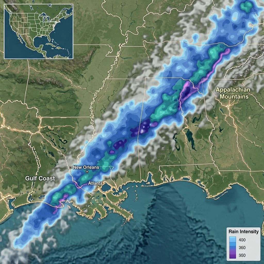
Body: Bertha formed in the Gulf of Mexico, bringing heavy rain and wind to coastal areas. However, as the storm moved northwest, it did not simply dissipate. Instead, it merged with existing weather patterns, pushing a plume of tropical moisture deep into the continent. Forecasters note that some of the most significant rainfall and thunderstorm activity is occurring in regions such as North Carolina and southern Virginia, nearly 800 miles from where the storm first touched down.
This inland impact is due to the storm’s ability to tap into atmospheric rivers—narrow corridors of concentrated moisture in the atmosphere. As Bertha’s circulation interacts with these flows, it enhances precipitation levels far from its center. For residents in these inland areas, the threat is not wind or storm surge, but flash flooding and localized severe storms. The sudden onset of heavy rain can overwhelm drainage systems and raise river levels rapidly.
Meteorologists have been tracking this progression closely, issuing flood watches and warnings for affected states. The unpredictability of tropical remnants makes forecasting challenging, as small changes in temperature or wind direction can alter the severity of the rainfall. Public awareness is crucial, as people living inland may not associate their local weather with a distant tropical storm. Education campaigns aim to bridge this gap, encouraging preparedness regardless of proximity to the coast.
The economic and social impacts of such inland flooding can be significant. Roads may become impassable, businesses may close, and homes may suffer water damage. Emergency services are on high alert, ready to respond to calls for assistance. The strain on infrastructure highlights the need for resilient urban planning and effective disaster response protocols in all regions, not just coastal zones.
Climate change is also playing a role in intensifying these events. Warmer air holds more moisture, leading to heavier rainfall when storms occur. This trend suggests that inland communities may face increasing risks from tropical systems in the future. Adapting to this new reality requires investment in green infrastructure, better warning systems, and community education.
For scientists, Bertha provides valuable data on how tropical storms interact with mid-latitude weather systems. Studying these interactions helps improve models and predictions, ultimately saving lives and property. Each storm offers lessons that refine our understanding of the complex dynamics of the Earth’s atmosphere.
Closing: As Tropical Storm Bertha continues its journey inland, it serves as a reminder that weather knows no borders. Communities far from the coast must remain vigilant, recognizing that the effects of a tropical storm can travel great distances. By staying informed and prepared, we can mitigate the risks and protect our neighbors from the unexpected reach of nature.
AI Image Disclaimer: Visuals in this article are AI-generated representations of weather maps and rainy landscapes, intended to illustrate the concepts of inland storm impacts without depicting specific real-time radar data.
Sources: The Washington Post National Weather Service USA Today Fox Weather
Note: This article was published on BanxChange.com and is powered by the BXE Token on the XRP Ledger. For the latest articles and news, please visit BanxChange.com