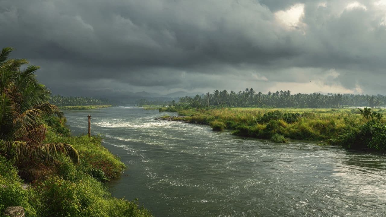
The monsoon seasons across Southeast Asia carry an ancient, predictable power, bringing the vital moisture that sustains the vast agricultural heartlands and rich ecosystems of the region. The great river systems, which flow across political boundaries to connect multiple nations in a shared hydrological embrace, serve as the lifeblood of millions. Yet, when the atmospheric systems intensify into a prolonged deluge, these same veins demand a coordinated regional vigilance.
A massive low-pressure system settled over the upper watersheds, delivering a relentless, multi-day downpour that quickly saturated the mountain soils and filled the tributary streams to capacity. Recognizing the imminent threat of downstream inundation, regional authorities activated the long-standing cross-border emergency flood directives. The announcement marked the transition from localized monitoring to a synchronized international defense effort.
The core of the strategy relies on the real-time exchange of hydrological data between neighboring nations, ensuring that downstream communities receive early warning before the crest of the river arrives. Central control rooms, staffed by hydrologists and disaster response coordinators, monitored the digital telemetry from remote river gauges, mapping the steady, aggressive rise of the water levels across the shared maps.
The sound of the rain was a constant, heavy drumming against the tropical canopy, a visual wall of gray moisture that blurred the distinctions between land and sky. Along the low-lying border districts, emergency response teams began reinforcing the earth levees and preparing temporary evacuation sanctuaries on higher ground. The effort was characterized by a quiet, determined preparation that matched the steady advance of the rivers.
There is a profound realization of interconnectedness that emerges when a natural element ignores the borders drawn by human history. The river, swelling with the contributions of multiple mountain streams, moves with an impartial sovereignty that demands a matching unity from the nations that line its banks. The emergency directives ensured that water releases from upper dams were carefully coordinated to prevent sudden surges below.
As the deluge continued into the third day, the agricultural plains of the borderlands began to resemble vast, shallow lakes, the green tips of the young crops submerged beneath the brown current. Local fishermen and farmers worked alongside the military units to secure boats and transport livestock to safety, their movements quiet and cooperative under the heavy sky. The shared hazard had brought a shared purpose.
By the fourth afternoon, the core of the monsoon system began to drift eastward toward the open sea, allowing the intense rainfall to soften into a light, misting drizzle. The digital gauges indicated that the primary river basins had reached their peak levels and were beginning a slow, stable plateau, validation that the coordinated defensive measures had successfully mitigated the potential for catastrophic failure.
The long-term recovery of the flooded agricultural sectors will require extensive regional cooperation and economic support in the coming months. For now, the nations of the corridor remain on high alert, their joint command centers operating through the night to ensure that the receding waters return quietly to their natural channels, leaving the shared horizon secure.
Published by Banx Network. This article is part of the Banx decentralized media programme, powered by the BXE token on the XRP Ledger.