
Public buildings often carry more than architectural weight; they also reflect the evolving ways societies gather, communicate, and present themselves. When satellite imagery captures changes to such spaces, it can invite a closer look at how physical environments adapt over time.
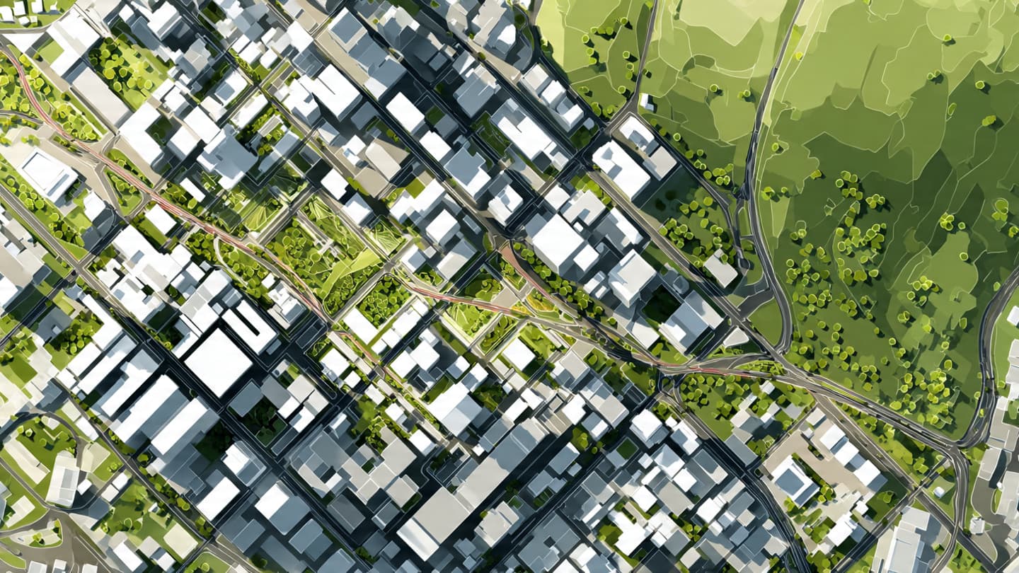
Recent satellite images have shown construction activity at the White House complex, including indications of a ballroom expansion project and a separate UFC-style bout cage setup, according to interpretations of the imagery circulating in public reports. Satellite imaging has become a widely used tool for observing structural changes at government and private facilities, offering a neutral, data-driven perspective that can complement official statements and public records.
The White House has historically undergone modifications and renovations across different administrations, reflecting changing security needs, functional requirements, and event hosting capacities.
The mention of a UFC-style cage has drawn attention due to its unusual association with a historically formal government setting, though such interpretations often depend on how satellite images are analyzed and labeled.
In general, large-scale venues and installations within government grounds may serve multiple purposes, including ceremonial events, security training, or temporary staging, depending on operational needs.
Experts in satellite imagery caution that interpretation requires careful context, as visual data alone may not always fully represent the intended function of temporary or partially constructed structures.
Public interest in such imagery often reflects broader curiosity about how government spaces evolve and how transparency is balanced with operational confidentiality.
As more details emerge from official channels, the construction and its intended use will likely be clarified within the framework of standard facility development practices.
AI Image Disclaimer: The images in this article are AI-generated visual interpretations based on satellite-style analysis and are not real satellite photographs.
Sources (Verification Check):
Reuters Associated Press NASA Earth Observatory (methodology reference) Defense One The Washington Post
Note: This article was published on BanxChange.com and is powered by the BXE Token on the XRP Ledger. For the latest articles and news, please visit BanxChange.com