
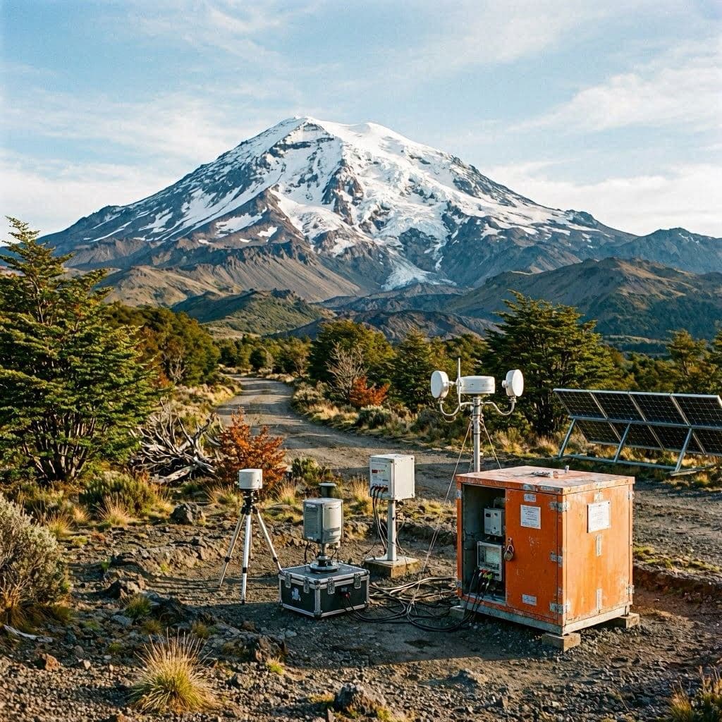
Mountains often appear timeless, standing quietly across generations. Yet beneath their calm silhouettes, the Earth continues its slow and constant movement. In southern Chile, increased volcanic activity serves as another reminder that nature is dynamic, requiring careful observation rather than assumption.
Authorities in Chile are closely monitoring volcanic activity following an increase in seismic events detected near one of the country's southern volcanic systems. Scientists continue collecting data to better understand ongoing geological changes while assessing potential risks.
Chile's national geological monitoring agencies have maintained continuous surveillance through seismic sensors, satellite observations, and field measurements. Officials report that monitoring systems remain active around the clock to detect any significant developments.
The country sits along the Pacific Ring of Fire, one of the world's most active tectonic regions. As a result, earthquakes and volcanic activity are relatively common, making scientific monitoring an essential part of Chile's disaster preparedness strategy.
Experts emphasize that elevated seismic activity does not necessarily indicate an imminent eruption. Instead, scientists evaluate multiple indicators, including ground deformation, volcanic gas emissions, and thermal observations before assessing changes in alert levels.
Emergency management agencies have coordinated with local governments to ensure preparedness measures remain in place. Public communication continues to focus on providing accurate information while encouraging residents to remain informed through official updates.
Researchers also view these periods of heightened activity as valuable opportunities to improve understanding of volcanic systems. Data collected during monitoring efforts contributes to broader scientific knowledge that can strengthen future forecasting capabilities.
Communities living near volcanic regions have become familiar with preparedness procedures developed over many years. Education programs, evacuation planning, and regular monitoring have become important components of local resilience.
Authorities state that monitoring will continue as scientists analyze incoming data. For now, careful observation remains the primary tool for understanding the evolving geological conditions while supporting public safety.
AI Image Disclaimer: This article contains an AI-generated illustration intended to visually represent the topic without depicting an actual event.
Source Verification Check: Reuters, Associated Press, SERNAGEOMIN, Chilean National Disaster Prevention Service, VolcanoDiscovery
Published by Banx Network. This article is part of the Banx decentralized media programme, powered by the BXE token on the XRP Ledger.


