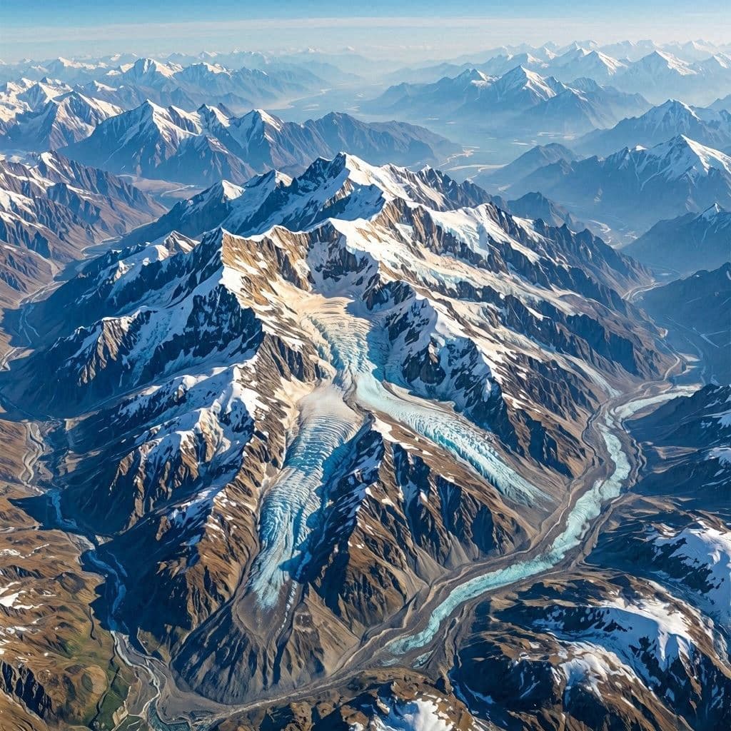
From the vantage point of orbit, Earth reveals itself not as a collection of borders and nations, but as a living, breathing entity of swirling clouds and shifting ice. On July 15, 2026, a striking image captured by space-based sensors highlighted the majestic flow of glaciers across the Himalayan range. This visual testament to planetary dynamics is more than a beautiful photograph; it is a scientific record of movement on a grand scale. It invites reflection on the slow, powerful forces that shape our world, the fragility of frozen water reserves, and the unique perspective that space technology offers in understanding climate change.
Body: The Himalayas, often called the "Roof of the World," hold the largest concentration of ice outside the polar regions. These glaciers are critical sources of fresh water for billions of people downstream, feeding major river systems like the Ganges, Brahmaputra, and Yangtze. The satellite imagery reveals the intricate patterns of ice flow, showing how gravity pulls massive sheets of frozen water down steep valleys. This movement, though imperceptible to the human eye on the ground, is constant and significant.
Capturing this flow from space requires advanced remote sensing technology. Synthetic Aperture Radar (SAR) and optical sensors work together to penetrate cloud cover and measure surface displacement with millimeter precision. The resulting images are not just snapshots but data-rich maps that allow scientists to track velocity changes over time. This technological capability transforms abstract concepts of glacial retreat into visible, quantifiable reality.
The implications for climate science are profound. As global temperatures rise, the rate of glacial flow and melting accelerates. Monitoring these changes helps predict water availability, flood risks, and long-term ecological shifts. The July 15 image serves as a baseline, a moment in time that will be compared with future observations to gauge the health of these vital ice reserves. It is a tool for vigilance and planning.
For the communities living in the shadow of these peaks, the glaciers are both a blessing and a threat. They provide life-sustaining water but also pose risks of glacial lake outburst floods. Understanding the dynamics of ice flow is essential for disaster preparedness and resource management. The satellite data bridges the gap between high-altitude science and local survival strategies. It connects the cosmic view with earthly needs.
The aesthetic beauty of the image should not overshadow its scientific urgency. The stark white of the ice against the rugged brown rock creates a visual contrast that is both stunning and sobering. It reminds viewers of the raw power of nature and the delicate balance that sustains it. Art and science converge here, offering both inspiration and information.
International collaboration plays a key role in these observations. Space agencies from around the world share data to create a comprehensive picture of global cryosphere health. This cooperative effort underscores the borderless nature of environmental challenges. Climate change does not respect political boundaries, nor does the meltwater from the Himalayas.
Public engagement with such images fosters a deeper connection to the planet. When people see the Earth from space, they often experience a sense of overview effect—a cognitive shift that emphasizes unity and fragility. Sharing these visuals helps build a global consensus on the need for environmental stewardship. It is a gentle but powerful form of advocacy.
Closing: In the end, the satellite image of Himalayan glaciers is a reminder of our interconnectedness with the natural world. It highlights the importance of monitoring and protecting these frozen reservoirs. As we continue to observe from above, the hope is that this knowledge will inspire action to preserve the delicate balance of our planet’s water systems.
AI Image Disclaimer: Please note that any accompanying visuals for this narrative are artificially generated interpretations meant to evoke the spirit of the story, not documentary evidence.
Sources: NASA Earth Observatory European Space Agency (ESA) National Snow and Ice Data Center
Published by Banx Network. This article is part of the Banx decentralized media programme, powered by the BXE token on the XRP Ledger.