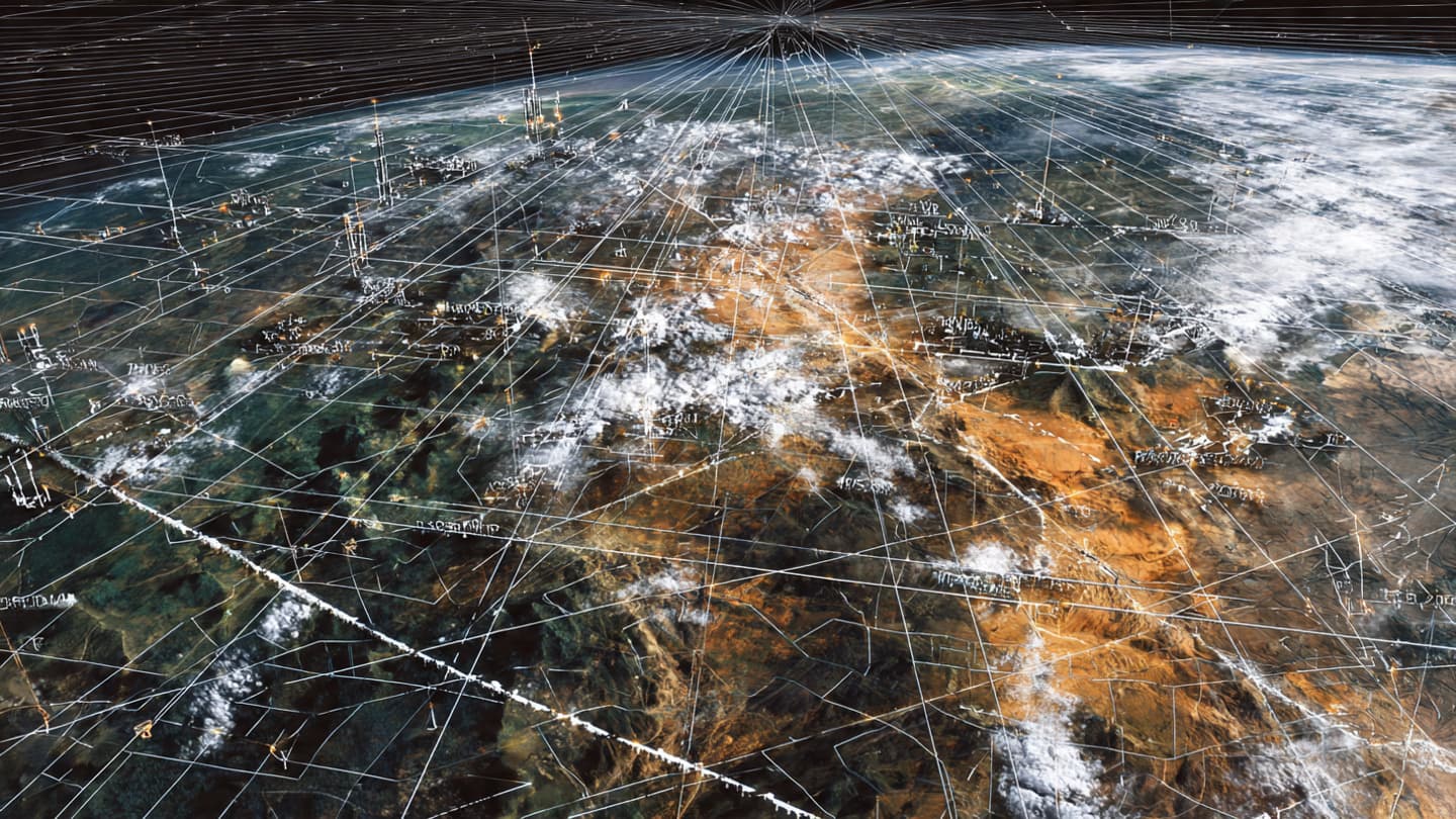
From above, the earth often reveals a kind of grammar that is not visible at ground level—circles, grids, and cleared spaces that hint at intent long before it is declared. In recent satellite imagery, analysts have pointed to such formations emerging across parts of China, where new infrastructure near nuclear-related sites appears to be under construction at a scale described by observers as unprecedented.
The images, circulated in recent reporting and analysis, depict expansive developments that include what are believed to be missile or launch-related pads, arranged in geometric patterns across remote terrain. These formations, while not officially detailed in full scope by authorities, have drawn attention for their size, density, and proximity to strategic facilities already associated with China’s nuclear and missile programs.
In defense and arms analysis, satellite imagery has long served as a quiet intermediary—an observational tool that translates landscape into inference. In this case, the scale of construction has prompted commentary that such patterns are unlike earlier known configurations, suggesting an evolution in infrastructure design or strategic posture.
China’s nuclear and missile capabilities have historically been developed within a framework of gradual modernization, often described by analysts as emphasizing survivability, mobility, and second-strike assurance. The emergence of large fixed-site infrastructure, if confirmed in its intended function, introduces interpretive questions about how these doctrines may be supported or complemented by new physical layouts.
At the same time, it is important to note that satellite interpretation often exists in a space between visibility and certainty. What appears as launch infrastructure may encompass a range of potential uses—testing, training, storage, or multi-purpose military engineering. The absence of official disclosure leaves much of the assessment dependent on pattern recognition, comparative analysis, and historical precedent.
Still, the visual language of these sites—wide clearings, repeated structures, and coordinated placement—naturally invites scrutiny from security analysts. In an era where strategic capabilities are increasingly measured not only in declared arsenals but also in observable infrastructure, the ground itself becomes a form of communication.
Regional and global observers tend to situate such developments within broader discussions of military modernization and strategic balance. As major powers continue to refine their deterrence architectures, even incremental expansions in physical infrastructure are often read against a backdrop of long-term planning rather than isolated construction.
For now, the reports remain grounded in interpretation of satellite data rather than confirmed operational deployment. Yet they contribute to a wider understanding of how modern military capability is not only deployed but built—layered into terrain, mapped into geometry, and gradually revealed through the steady eye of orbiting observation systems.
In that sense, these sites exist twice: once as structures on the ground, and again as images in motionless orbit. Between those two perspectives lies the slow unfolding of strategic meaning, still forming, still being read.
AI Image Disclaimer “Images are AI-generated visual interpretations based on reported satellite observations and are not direct photographic verification.”
Sources Reuters, BBC News, The New York Times, Financial Times, Defense News
Published by Banx Network. This article is part of the Banx decentralized media programme, powered by the BXE token on the XRP Ledger.