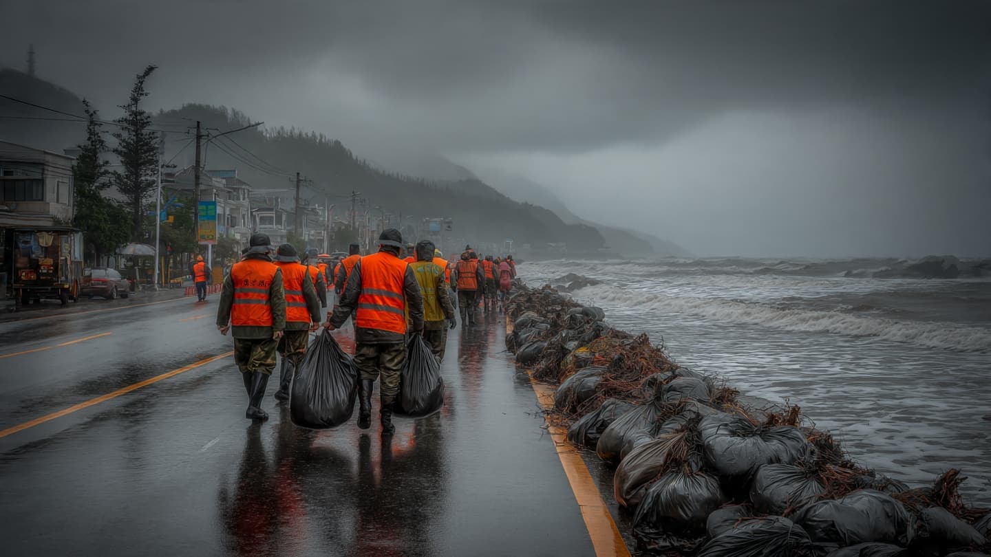
Along the eastern edge of Asia, the sea has begun to change its rhythm. The waters around Japan have carried Typhoon Dolphin northward and westward, while China's eastern coastline prepares for a storm expected to arrive after crossing the open sea. Ports that would normally hum with ships have begun to quiet, and communities are watching the sky for signs of what comes next.
Typhoon Dolphin struck Japan's southern Okinawa prefecture on Saturday, bringing powerful winds, heavy rain, and widespread disruption before continuing toward China. Reuters reported that the storm injured six people and caused power outages affecting more than 50,000 buildings across Okinawa and Kagoshima.
The storm's winds reached speeds of up to 216 kilometers per hour, giving the system enough force to damage infrastructure and interrupt transportation. Airlines including ANA and Japan Airlines canceled flights as authorities attempted to reduce exposure to dangerous weather conditions. The disruptions illustrated how quickly a storm at sea can move into the routines of people far from its center.
China has been preparing for Dolphin's arrival along its eastern coast. Authorities expect the typhoon to make landfall somewhere between Zhoushan in Zhejiang province and Fuding in Fujian province between late Sunday and early Monday, according to Reuters. The exact path remains important because even a small shift can change which communities experience the strongest winds and rainfall.
The country's response has already reached ports and airports. China categorized Dolphin as an orange-level typhoon and raised its emergency response to level III. Forecasts called for waves reaching as high as eight meters in some areas, while authorities issued warnings for flooding, mountain torrents, and other weather-related hazards.
Ningbo Lishe International Airport was among the facilities affected, while rail services in the Yangtze River Delta were also expected to face disruption. Such measures can appear routine during a major storm, but they represent a carefully coordinated effort to reduce the movement of people and equipment while conditions become increasingly difficult.
The storm has arrived during a period when parts of China are already dealing with heavy rainfall. Beijing experienced intense rain on Friday, prompting warnings about flooding in urban areas as well as mudslides and landslides in mountainous and agricultural regions. The additional weather system has therefore added another layer of uncertainty to an already unsettled period.
For coastal communities, the most immediate concerns are usually straightforward: wind, rain, flooding, and the sea. Yet each of those elements can affect transportation, electricity, ports, agriculture, and local businesses. A storm does not need to remain over one location to influence the wider economy; its arrival can be felt across a chain of decisions made hours before landfall.
As Dolphin approaches, authorities continue to monitor its direction and intensity while residents along the eastern coast prepare for the possibility of severe conditions. The storm's journey from the Pacific toward the Asian mainland is a reminder of how closely the region's coastal communities remain connected to the movement of the ocean and atmosphere.
AI Image Disclaimer: The illustrations were generated using AI and are conceptual visualizations of the reported weather event.
Sources:
Reuters China Meteorological Administration China Daily Xinhua News Agency Japan Meteorological Agency
Note: This article was published on BanxChange.com and is powered by the BXE Token on the XRP Ledger. For the latest articles and news, please visit BanxChange.com