
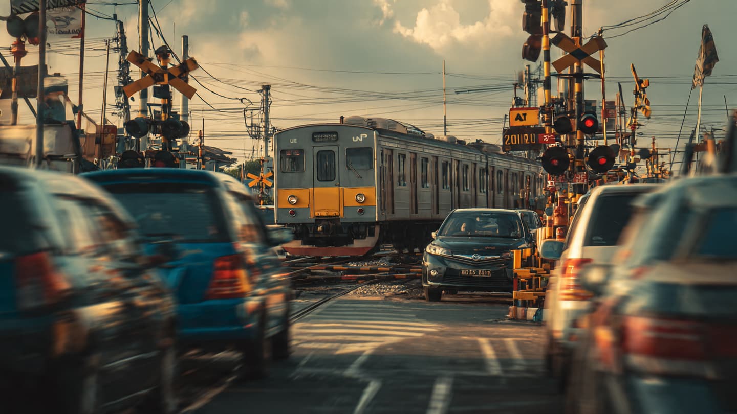
In rapidly growing cities, roads and railways often meet like two restless currents crossing the same river. Each carries its own rhythm—one shaped by the urgency of commuters, the other by the certainty of passing trains. In Bekasi, discussions surrounding the planned closure of a railway crossing on Jalan Pangeran Jayakarta recently reflected the delicate balance between public mobility and transportation safety.
Authorities confirmed that the proposed closure of the railway crossing has been temporarily postponed. The decision followed ongoing evaluations and considerations regarding traffic conditions, community activities, and the potential impact on local mobility patterns in the surrounding area.
Railway crossings in densely populated urban regions have long been a concern for transportation planners. Safety risks, congestion, and operational efficiency frequently become central considerations when governments evaluate whether crossings should remain open, be upgraded, or eventually be closed.
Officials reportedly continue to coordinate with local administrations and transportation stakeholders to assess alternative traffic arrangements before any final decision is implemented. Such planning processes often require careful adjustment to minimize disruption for residents and daily commuters.
For many residents, the crossing serves as an important access point linking neighborhoods and commercial areas. Changes to transportation routes in urban districts can significantly influence travel times, business activities, and the broader movement of people throughout the city.
Transportation observers note that infrastructure decisions in expanding metropolitan areas often involve competing priorities. While railway safety improvements remain important, public accessibility and practical mobility concerns also shape policy discussions.
Across Indonesia, several cities have gradually reduced direct railway crossings in an effort to improve rail operations and reduce accident risks. However, implementation timelines often depend on the readiness of supporting infrastructure such as flyovers, underpasses, or alternative road networks.
The temporary postponement ultimately illustrates how urban planning frequently unfolds through gradual negotiation between safety considerations, transportation efficiency, and the everyday realities experienced by local communities.
The visual illustrations in this article were generated using AI-assisted imaging technology.
Sources: Kompas, Antara, Detik, Pemerintah Kota Bekasi
Note: This article was published on BanxChange.com and is powered by the BXE Token on the XRP Ledger. For the latest articles and news, please visit BanxChange.com