The dry season changes the character of a landscape slowly. Green fields begin to lose their softness, streams become narrower and the air carries a different warmth. Across Indonesia, that seasonal transition has become increasingly visible as fires spread through forests and other areas of land.
Nearly 95,000 hectares of land in Indonesia were affected by wildfires during July alone, almost twice the area recorded during the first six months of the year combined, according to government data reported by Reuters.
The forestry ministry said 202,004 hectares had been affected by wildfire between January and July, compared with 107,465 hectares through June. The sharp increase in July illustrates how quickly fire activity can intensify when dry conditions persist.
El Niño has contributed to hotter and drier conditions across parts of Indonesia. The weather pattern can reduce rainfall and extend dry periods, creating conditions in which vegetation becomes more susceptible to burning.
The impact is not distributed evenly. Indonesia's vast geography means weather conditions, land use and vegetation vary considerably from one province to another. Some areas can experience severe dryness while others receive more rainfall.
Wildfires can affect forests, agricultural land and peatlands, with consequences extending beyond the immediate area of burning. Smoke can travel across administrative boundaries and influence air quality in nearby communities.
For farmers, prolonged dryness can create a difficult balance. Sunlight is necessary for many crops, but excessive heat and a lack of rainfall can increase pressure on soil and water resources.
Peatlands present another particular challenge because fires can sometimes continue beneath the surface, making them difficult to detect and extinguish completely. Preventing ignition therefore remains an important part of fire management.
Indonesian authorities have continued monitoring fire hotspots and deploying personnel in areas considered vulnerable. Satellite observations can help identify areas where fires may be developing, allowing ground teams to investigate conditions.
The current season also places renewed attention on climate resilience. Managing forests and agricultural landscapes requires preparation that extends beyond emergency response, including water management, land practices and monitoring systems.
The increase in July's affected area does not mean that every hectare experienced the same degree of damage. Government measurements cover land affected by wildfire, while the severity of individual fires varies according to location, duration and vegetation.
Indonesia's experience this year illustrates how closely weather and land management are connected. When rainfall declines and temperatures rise, landscapes that appear unchanged can become more vulnerable within a matter of weeks.
As the dry season continues, authorities are monitoring conditions across the country and preparing for further fire risks. For communities living among forests and agricultural land, the changing color of the landscape remains one of the clearest signs of how the season is unfolding.
Image Disclaimer
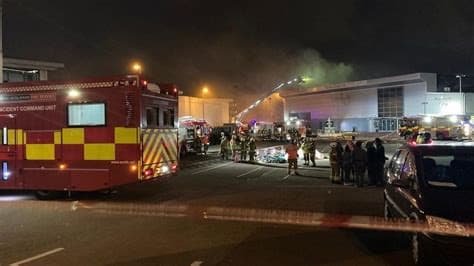
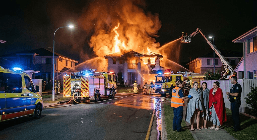
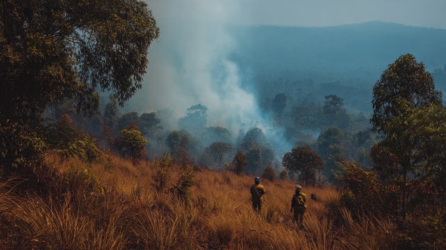
The visuals were created using AI as conceptual representations of Indonesia’s wildfire conditions and do not depict actual photographs of the reported fires.
Sources
Reuters Ministry of Forestry of Indonesia BMKG BNPB ANTARA
Note: This article was published on BanxChange.com and is powered by the BXE Token on the XRP Ledger. For the latest articles and news, please visit BanxChange.com