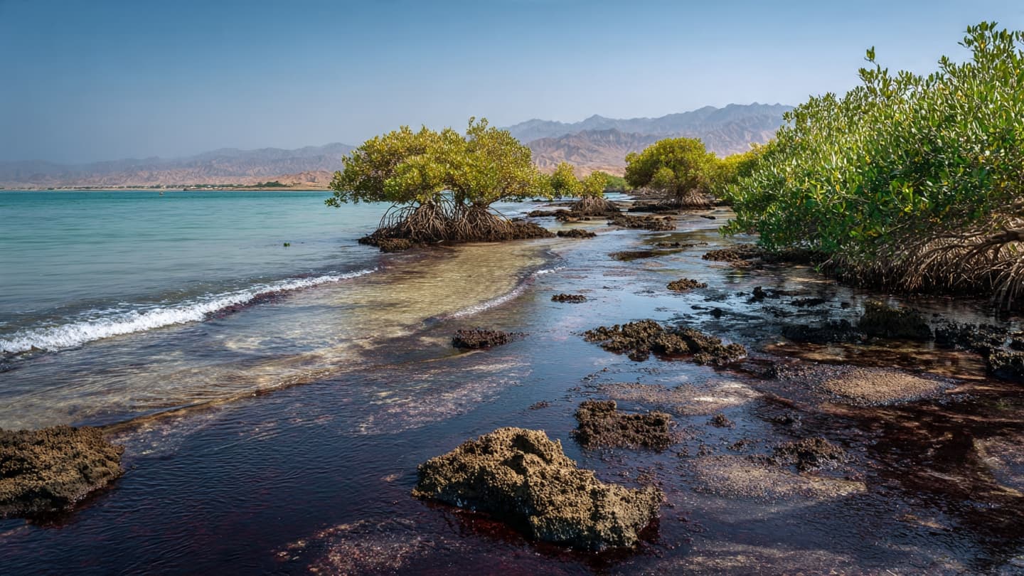
Along Qeshm Island, the meeting between land and sea is rarely still. Tides move through narrow channels, boats cross shallow waters, and mangrove roots rise from the coastal mud. In recent days, however, another movement has entered this delicate landscape as oil from offshore pollution reaches parts of the island's coastline.
Satellite observations reviewed by the United Nations University show oil pollution affecting waters near Qeshm and Hengam islands off southern Iran. The imagery provides a broad view of the contamination and shows how Earth-observing satellites can follow pollution across large stretches of marine territory.
Reuters separately reported that a major slick near Qeshm appeared to contain heavy fuel oil, while a lighter trail extended for approximately 160 kilometers. A second slick was detected near Sirri Island, adding another area of environmental concern within Iranian waters.
The arrival of petroleum along the coast matters because Qeshm's shoreline contains habitats that are closely connected to shallow Gulf waters. Mangrove environments, in particular, occupy a narrow space between land and sea, where roots, sediment, fish, birds, and other organisms interact within the tidal zone.
Oil can behave differently once it reaches such environments. Instead of remaining on open water, petroleum may become attached to sediment, vegetation, rocks, or other coastal surfaces. The longer contamination remains in place, the more complicated cleanup and ecological assessment can become.
The source of the Qeshm pollution has been linked by satellite analysis and maritime tracking to the damaged Minoan Pioneer, a Liberia-flagged bulk carrier. Reuters reported that the vessel was damaged earlier in August and that the resulting leak is believed to be responsible for the slick near Qeshm.
The scale of the pollution is being monitored partly through satellite technology. Researchers can compare images taken on different dates to observe how a slick changes shape and direction. This is particularly useful when conditions at sea make continuous direct observation difficult.
For Qeshm's coastal communities, the environmental concern extends beyond the appearance of darkened water. Fishing, transportation, tourism, and other activities depend on the condition of the surrounding sea. The presence of oil can therefore affect the practical relationship between residents and the coastal environment.
The situation is also unfolding alongside another major spill near Oman's southern coast involving the tanker Caroline Bezengi. The two incidents are separate, but satellite observations show that multiple areas of the wider Gulf and Arabian Sea region are dealing with significant petroleum pollution at the same time.
Environmental specialists continue monitoring the movement of the oil while authorities assess cleanup and salvage requirements. For Qeshm, the immediate picture remains fluid: petroleum has reached parts of the coastline, satellite images continue to reveal its spread, and the condition of sensitive coastal habitats will require further assessment as the response develops.
Image Disclaimer
The following visuals are AI-generated conceptual representations of the reported oil pollution and Qeshm coastal environment; they are not real photographs.
Sources
Reuters United Nations University Euronews Associated Press
Note: This article was published on BanxChange.com and is powered by the BXE Token on the XRP Ledger. For the latest articles and news, please visit BanxChange.com