
Morning light over the Persian Gulf often arrives gently. Fishing boats move across still water before the heat rises fully from the horizon, and small islands emerge from the haze like pale shapes suspended between desert and sea. Along these coastlines, life has long depended on the rhythm of tides, shipping routes, and oil terminals — industries and landscapes intertwined so closely that one often seems impossible without the other.
But war leaves traces that drift.
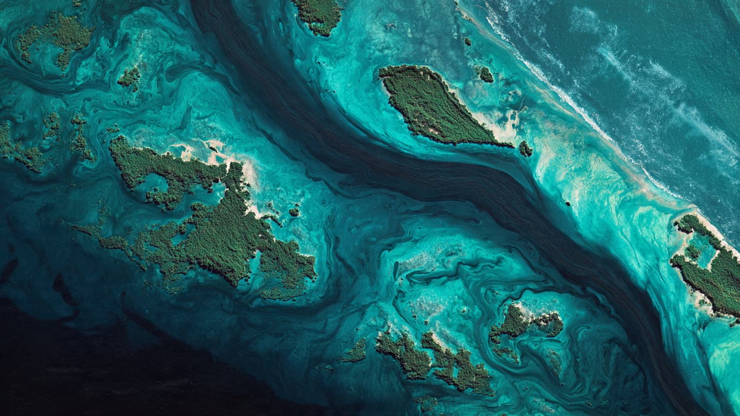
Recent videos and satellite images appear to show a growing oil spill spreading near a Persian Gulf island amid the continuing conflict involving Iran. Dark streaks across coastal waters, visible from above in satellite photography and circulating widely through online footage, have raised concerns among environmental observers and maritime analysts about the broader ecological consequences of military escalation in one of the world’s most strategically important waterways.
The spill reportedly emerged near infrastructure connected to regional energy operations, though the precise cause remains disputed and difficult to verify independently. Analysts reviewing satellite imagery noted expanding patches of discoloration along sections of the shoreline and nearby waters, while videos filmed from boats and coastal vantage points appeared to show thick black residue drifting across the sea surface.
In the Gulf, oil has always been more than an economic resource. It shapes skylines, ports, labor migration, shipping lanes, and political relationships stretching far beyond the region itself. Tankers move continuously through these narrow waters carrying energy supplies toward Asia, Europe, and beyond. The sea here is not empty space but a crowded artery of global commerce, watched closely by governments, corporations, and militaries alike.
Now, as conflict involving Iran deepens regional instability, the environmental vulnerability of the Gulf has again become visible. Military activity near energy infrastructure carries risks that extend beyond immediate strategic targets. Fires, explosions, damaged facilities, and disrupted shipping operations can quickly spill into marine ecosystems already under pressure from industrial development, warming waters, and heavy maritime traffic.
Satellite imagery has increasingly become part of modern war itself — not only documenting destruction, but shaping public understanding of events almost in real time. From thousands of miles away, analysts can now observe smoke plumes, damaged runways, troop movements, and environmental contamination through high-resolution commercial imagery once available only to governments. In this case, the photographs transformed what may have begun as a localized industrial or military incident into a wider symbol of how conflict leaves marks beyond battlefields.
For residents living along Gulf coastlines, the sea remains deeply personal despite its geopolitical significance. Fishermen navigate waters affected by changing conditions. Coastal communities rely on fragile marine ecosystems that support both livelihoods and tourism. Even small disruptions can ripple outward through local economies and daily routines. Oil slicks drifting toward shorelines carry not only environmental risk, but emotional weight for communities whose identities are tied to the water.
Environmental groups and maritime observers have warned for years that the Gulf’s enclosed geography makes it particularly vulnerable to pollution. Warm, shallow waters limit the speed at which contaminants disperse naturally, while intense shipping traffic and industrial concentration heighten the danger of large-scale ecological damage during crises. Past conflicts in the region left long-lasting scars on marine life and coastal habitats, reminders that environmental consequences often outlive the political events that caused them.
Meanwhile, governments across the Gulf continue monitoring maritime security closely as regional tensions remain elevated. Energy markets react sharply to any perceived threat near critical oil infrastructure or shipping corridors. Insurance costs fluctuate. Naval patrols intensify. Beneath the technical language of security assessments lies a broader awareness that the Gulf’s stability rests on delicate balances — economic, environmental, and political all at once.
Yet even amid uncertainty, ordinary scenes continue unfolding along the water. Cargo ships move through narrow channels beneath harsh afternoon light. Families gather near beaches at sunset. Seabirds circle above industrial ports where cranes continue loading containers late into the night. The region carries on with its familiar rhythm even as darker currents spread quietly across the sea.
Investigations into the source and scale of the spill are ongoing, while environmental analysts continue reviewing new satellite imagery and video evidence. Officials in the region have not fully clarified the extent of the contamination or the potential long-term ecological impact. What is already visible, however, is the unmistakable intersection between war and environment — the way conflict can alter not only borders and politics, but water, coastlines, and the fragile systems beneath them.
And so the Persian Gulf, long defined by both beauty and extraction, reflects another layer of uncertainty across its surface — oil spreading slowly through warm currents beneath skies already clouded by the tensions of war.
AI Image Disclaimer: These visuals were generated using AI technology as illustrative interpretations of the events and environmental conditions described.
Sources Reuters Associated Press BBC News Al Jazeera Bloomberg
Note: This article was published on BanxChange.com and is powered by the BXE Token on the XRP Ledger. For the latest articles and news, please visit BanxChange.com