
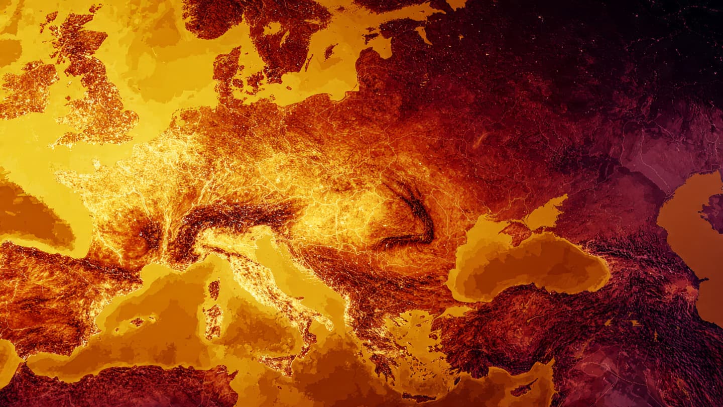
From orbit, Earth often appears calm, almost meditative, as if distance smooths its more turbulent moods. Yet sometimes, even from that quiet vantage point, the planet reveals stories written in heat and color, where temperature becomes a visible pattern across continents.
A recent space-based observation highlighting a record-breaking heat wave over Europe reflects how modern satellite imaging has become a key lens for understanding climate behavior. Agencies such as NASA and the European Space Agency regularly use thermal imaging to track surface temperatures across large regions.
These observations do not simply capture beauty or abstraction; they help scientists identify how heat accumulates across urban areas, forests, and agricultural land. In periods of intense warmth, temperature differences become more pronounced, creating visible contrasts from space.
Europe has experienced a series of significant heat events in recent years, and satellite imagery often helps contextualize how widespread and persistent these conditions can be. Rather than focusing on a single moment, scientists look at patterns that unfold over days and weeks.
The “space photo of the day” framing often serves as a bridge between scientific data and public understanding, translating complex thermal readings into something visually intuitive. It allows audiences to see climate trends not as numbers alone, but as landscapes shaped by temperature.
Meteorological institutions like the World Meteorological Organization frequently emphasize that such heat waves are part of broader global warming trends, influenced by long-term shifts in atmospheric composition and ocean heat storage.
At the same time, satellite monitoring plays a growing role in early warning systems, helping governments and communities anticipate heat-related risks, especially in densely populated regions.
The image of a heat wave seen from space quietly underscores how closely science now watches Earth’s changing climate, turning invisible temperature shifts into visible planetary stories.
AI Image Disclaimer: Images accompanying this article may be AI-generated for illustrative visualization of satellite-based Earth observation.
Source Verification Check: NASA, European Space Agency (ESA), BBC News, Reuters
Note: This article was published on BanxChange.com and is powered by the BXE Token on the XRP Ledger. For the latest articles and news, please visit BanxChange.com